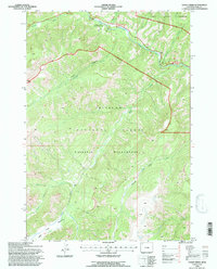
1991 Map of Eagle Creek
USGS Topo · Published 1997About this map
The Middle Fork Shoshone River and North Fork Shoshone River define this high-elevation landscape within the Shoshone National Forest. This 1991 revision, based on photographs dating back to 1969, documents a rugged alpine region where the boundaries of the North Absaroka Wilderness and Washakie Wilderness converge. The presence of the Sleeping Giant Winter Sports Area near the northern corridor illustrates the area's development for recreation alongside traditional resource extraction, represented by the Crouch Mine located further south near Crouch Creek.
Find a feature on this map
25 named features on this map. Tap any name to fly to it.
Don’t see what you’re looking for? This feature index may not catch every label — zoom into the map to look around manually.
Map Details
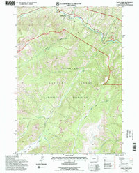
Editions of this 1991 Eagle Creek Map
2 editions found
Other maps of this area

1885 · Lake
USGS Topo · 1:125,000

1886 · Canyon
USGS Topo · 1:125,000

1893 · Ishawooa
USGS Topo · 1:125,000

1895 · Ishawooa
USGS Topo · 1:125,000

1895 · Canyon
USGS Topo · 1:125,000

1895 · Lake
USGS Topo · 1:125,000

1896 · Lake
USGS Topo · 1:125,000

1896 · Canyon
USGS Topo · 1:125,000

1896 · Crandall Creek
USGS Topo · 1:125,000

1899 · Crandall
USGS Topo · 1:125,000