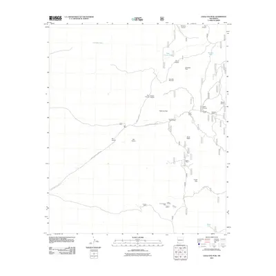
2011 Map of Eagle Eye Peak
USGS Topo · Published 2011About this map
Mining operations and ranching legacies define this high-altitude landscape in Grant County. The area south of Eagle Eye Peak is a concentrated zone of mineral exploration, featuring the Malone Mines, Yankee Girl Mine, and the Lost Prospector Mine. These industrial sites, alongside the Three Js Claims and the Fred L Group, suggest a history of prospecting that sought to capitalize on the region's complex geology, including the Thomson Canyon Perlite Deposit.
Find a feature on this map
36 named features on this map. Tap any name to fly to it.
Don’t see what you’re looking for? This feature index may not catch every label — zoom into the map to look around manually.
Map Details
Editions of this 2011 Eagle Eye Peak Map
This is the sole edition of this map. No revisions or reprints were ever made.
Other maps of this area

1909 · Silver City
USGS Topo · 1:125,000

1950 · Wind Mountain
USGS Topo · 1:24,000

1950 · Burro Peak
USGS Topo · 1:24,000

1951 · Big Burro Mountains
USGS Topo · 1:24,000

1951 · Wind Mountain
USGS Topo · 1:24,000

1954 · Silver City
USGS Topo · 1:250,000

1958 · Silver City
USGS Topo · 1:250,000

1959 · Redrock
USGS Topo · 1:62,500

1962 · Silver City
USGS Topo · 1:250,000

1963 · Gold Hill
USGS Topo · 1:24,000