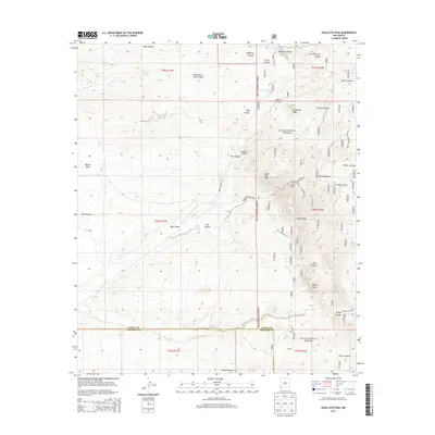
2013 Map of Eagle Eye Peak
USGS Topo · Published 2013About this map
Gila National Forest dominates the eastern half of this terrain, where the high summits of Eagle Eye Peak and Knight Peak stand as prominent landmarks. The landscape is defined by a dense network of drainages and canyons, reflecting a history of resource extraction and seasonal water management. Locations like Gold Gulch and Arrastre Gulch point to the area's prospecting heritage, while numerous man-made water catchments such as Live Oak Tank, Bootleg Tank, and Fence Tank reveal the vital infrastructure required for ranching in this arid environment.
Find a feature on this map
42 named features on this map. Tap any name to fly to it.
Don’t see what you’re looking for? This feature index may not catch every label — zoom into the map to look around manually.
Map Details
Editions of this 2013 Eagle Eye Peak Map
This is the sole edition of this map. No revisions or reprints were ever made.
Other maps of this area

1909 · Silver City
USGS Topo · 1:125,000

1950 · Wind Mountain
USGS Topo · 1:24,000

1950 · Burro Peak
USGS Topo · 1:24,000

1951 · Big Burro Mountains
USGS Topo · 1:24,000

1951 · Wind Mountain
USGS Topo · 1:24,000

1954 · Silver City
USGS Topo · 1:250,000

1958 · Silver City
USGS Topo · 1:250,000

1959 · Redrock
USGS Topo · 1:62,500

1962 · Silver City
USGS Topo · 1:250,000

1963 · Gold Hill
USGS Topo · 1:24,000