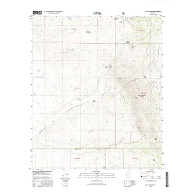
2017 Map of Eagle Eye Peak
USGS Topo · Published 2017About this map
Gila National Forest anchors the high country of the New Mexico bootheel, where the borders of Grant and Hidalgo Counties meet. This 2017 survey reveals a landscape defined by sharp elevation changes and deep drainages, centered on the prominent Eagle Eye Peak and the nearby Knight Peak. The land is networked with primitive routes and specialized infrastructure for cattle ranching, including water sources like Live Oak Tank, Bootleg Tank, and Fence Tank.
Find a feature on this map
44 named features on this map. Tap any name to fly to it.
Don’t see what you’re looking for? This feature index may not catch every label — zoom into the map to look around manually.
Map Details
Editions of this 2017 Eagle Eye Peak Map
This is the sole edition of this map. No revisions or reprints were ever made.
Other maps of this area

1909 · Silver City
USGS Topo · 1:125,000

1950 · Wind Mountain
USGS Topo · 1:24,000

1950 · Burro Peak
USGS Topo · 1:24,000

1951 · Big Burro Mountains
USGS Topo · 1:24,000

1951 · Wind Mountain
USGS Topo · 1:24,000

1954 · Silver City
USGS Topo · 1:250,000

1958 · Silver City
USGS Topo · 1:250,000

1959 · Redrock
USGS Topo · 1:62,500

1962 · Silver City
USGS Topo · 1:250,000

1963 · Gold Hill
USGS Topo · 1:24,000