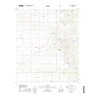
2020 Map of Eagle Eye Peak
USGS Topo · Published 2020About this map
Eagle Eye Peak stands as a prominent landmark within this portion of the Gila National Forest, where the high desert terrain of Grant County meets the Hidalgo County line. The landscape is defined by a complex network of canyons and gulches, including Arrastre Gulch and Gold Gulch, names that hint at the region's prospecting history. To the south, Knight Peak rises above Knight Canyon, while water sources like Miller Spring and Burro Spring provided essential stopovers in an otherwise arid environment.
Find a feature on this map
44 named features on this map. Tap any name to fly to it.
Don’t see what you’re looking for? This feature index may not catch every label — zoom into the map to look around manually.
Map Details
Editions of this 2020 Eagle Eye Peak Map
This is the sole edition of this map. No revisions or reprints were ever made.
Other maps of this area

1909 · Silver City
USGS Topo · 1:125,000

1950 · Wind Mountain
USGS Topo · 1:24,000

1950 · Burro Peak
USGS Topo · 1:24,000

1951 · Big Burro Mountains
USGS Topo · 1:24,000

1951 · Wind Mountain
USGS Topo · 1:24,000

1954 · Silver City
USGS Topo · 1:250,000

1958 · Silver City
USGS Topo · 1:250,000

1959 · Redrock
USGS Topo · 1:62,500

1962 · Silver City
USGS Topo · 1:250,000

1963 · Gold Hill
USGS Topo · 1:24,000