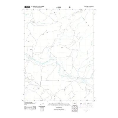
2011 Map of Eagle Hill
USGS Topo · Published 2011About this map
Canadian River meanders through this portion of Larimer County, supporting a complex network of historic irrigation and industrial activity. The landscape is defined by its working character, evidenced by the Medicine Bow Ditch, Stillwater Ditch, and Sanborn Ditch which cut across the terrain to manage water in this high-altitude environment. Ranching roots are visible at the Dwinell Homestead, The Horse Ranch, and Blevins Ranch, indicating a history of livestock and land management near the Medicine Bow Range.
Find a feature on this map
51 named features on this map. Tap any name to fly to it.
Don’t see what you’re looking for? This feature index may not catch every label — zoom into the map to look around manually.
Map Details
Editions of this 2011 Eagle Hill Map
This is the sole edition of this map. No revisions or reprints were ever made.
Other maps of this area

1950 · Northgate
USGS Topo · 1:24,000

1950 · Kings Canyon
USGS Topo · 1:24,000

1952 · Northgate
USGS Topo · 1:24,000

1952 · Kings Canyon
USGS Topo · 1:24,000

1954 · Craig
USGS Topo · 1:250,000

1955 · Old Roach
USGS Topo · 1:24,000

1955 · Eagle Hill
USGS Topo · 1:24,000

1955 · Shipman Mountain
USGS Topo · 1:24,000

1955 · Gould NW
USGS Topo · 1:24,000

1955 · Walden
USGS Topo · 1:24,000