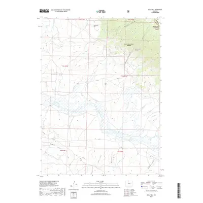
2019 Map of Eagle Hill
USGS Topo · Published 2019About this map
The Medicine Bow Mountains define the northeastern corner of this landscape, where the high elevations of the Roosevelt National Forest meet the Routt National Forest. To the west, the North Sand Hills contrast with the complex network of irrigation infrastructure below, including the Medicine Bow Ditch and the Canadian River-Stillwater Ditch. This intricate system of ditches and draws, such as Buffmeyer Draw and Sudduth Draw, illustrates the heavy reliance on water management for ranching and land use in this part of Larimer and Jackson counties. The Canadian River winds through the southern reaches, supported by feeder streams like Saint Francis Cr and Sherman Cr. Land surveyors and local historians can trace the intersection of historical township boundaries and rugged terrain features like Eagle Hill and the Mendenhall Trail.
Find a feature on this map
56 named features on this map. Tap any name to fly to it.
Don’t see what you’re looking for? This feature index may not catch every label — zoom into the map to look around manually.
Map Details
Editions of this 2019 Eagle Hill Map
This is the sole edition of this map. No revisions or reprints were ever made.
Other maps of this area

1950 · Northgate
USGS Topo · 1:24,000

1950 · Kings Canyon
USGS Topo · 1:24,000

1952 · Northgate
USGS Topo · 1:24,000

1952 · Kings Canyon
USGS Topo · 1:24,000

1954 · Craig
USGS Topo · 1:250,000

1955 · Old Roach
USGS Topo · 1:24,000

1955 · Eagle Hill
USGS Topo · 1:24,000

1955 · Shipman Mountain
USGS Topo · 1:24,000

1955 · Gould NW
USGS Topo · 1:24,000

1955 · Walden
USGS Topo · 1:24,000