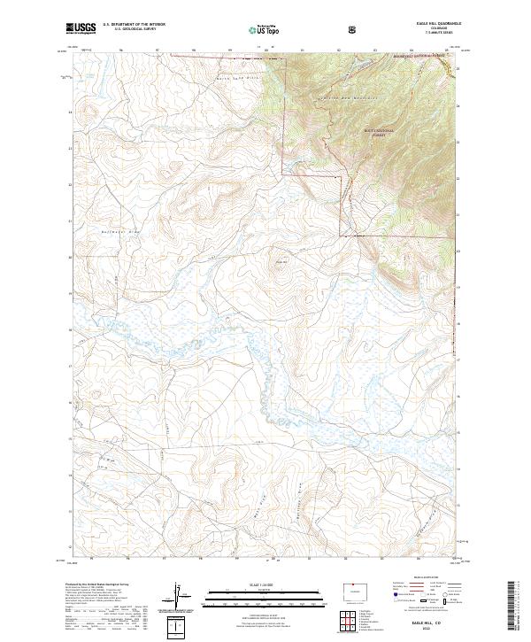
2022 Map of Eagle Hill
USGS Topo · Published 2022About this map
The Medicine Bow Mountains dominate the eastern reaches of this high-altitude landscape, where the Routt National Forest meets the Roosevelt National Forest. This 2022 survey captures a complex network of hydraulic engineering designed to move water across the arid terrain near Eagle Hill. Numerous irrigation channels, including the Medicine Bow Ditch, Stillwater Ditch, and Sanborn Ditch, divert water from the Canadian River and its tributaries. These features underscore the intensive management of water rights in Colorado's high basins. To the northwest, the North Sand Hills provide a distinct geological contrast to the mountain slopes. The map traces early transportation routes such as the Mendenhall Road Trl and various draws like Buffmeyer Draw and Lee Draw, which follow the natural drainage patterns of the region.
Find a feature on this map
61 named features on this map. Tap any name to fly to it.
Don’t see what you’re looking for? This feature index may not catch every label — zoom into the map to look around manually.
Map Details
Editions of this 2022 Eagle Hill Map
This is the sole edition of this map. No revisions or reprints were ever made.
Other maps of this area

1950 · Northgate
USGS Topo · 1:24,000

1950 · Kings Canyon
USGS Topo · 1:24,000

1952 · Northgate
USGS Topo · 1:24,000

1952 · Kings Canyon
USGS Topo · 1:24,000

1954 · Craig
USGS Topo · 1:250,000

1955 · Old Roach
USGS Topo · 1:24,000

1955 · Eagle Hill
USGS Topo · 1:24,000

1955 · Shipman Mountain
USGS Topo · 1:24,000

1955 · Gould NW
USGS Topo · 1:24,000

1955 · Walden
USGS Topo · 1:24,000