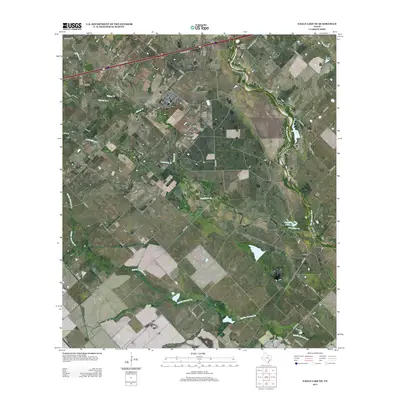
2013 Map of Eagle Lake NE
USGS Topo · Published 2013About this map
The San Bernard River winds through this coastal prairie landscape in Colorado County, forming a natural boundary for the small settlements of Lafitte and Beard. The area is defined by a dense network of waterways including Middle Bernard Cr, Coushatta Cr, and Church Cr, which drain the flat agricultural lands between small private airfields like Marios Flying Pizza Airport and Renz Ranch Airport. This 2013 survey illustrates the modern rural infrastructure of Southeast Texas, where ancient watercourses like Crooked Br intersect with the rigid grid of county roads and the Interstate 10 corridor. Notable water bodies such as Plowden Lake and Refuge Lake provide local landmarks within the riparian zones, showing the persistence of wetland features in a region increasingly utilized for both ranching and private aviation.
Find a feature on this map
43 named features on this map. Tap any name to fly to it.
Don’t see what you’re looking for? This feature index may not catch every label — zoom into the map to look around manually.
Map Details
Editions of this 2013 Eagle Lake NE Map
This is the sole edition of this map. No revisions or reprints were ever made.
Other maps of this area

1953 · Seguin
USGS Topo · 1:250,000

1956 · Bellville
USGS Topo · 1:62,500

1956 · Sealy
USGS Topo · 1:62,500

1956 · Wallis
USGS Topo · 1:62,500

1957 · Eagle Lake
USGS Topo · 1:62,500

1957 · Altair
USGS Topo · 1:24,000

1958 · Seguin
USGS Topo · 1:250,000

1958 · Bernardo
USGS Topo · 1:24,000

1958 · Alleyton
USGS Topo · 1:24,000

1960 · Lissie
USGS Topo · 1:24,000