
1958 Map of Alleyton
USGS Topo · Published 1959About this map
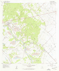
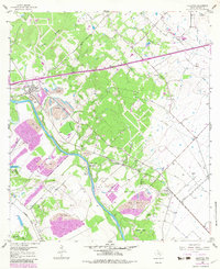
The Colorado River winds through this 1958 survey of Colorado County, defining a landscape shaped by river transport and early Texas industry. The settlement of Alleyton stands as a primary hub, while the historical Alley House and the Atascosito Crossing mark significant points of early frontier travel. The terrain is a mix of agricultural bottomlands like Hahn Bottoms and intensive industrial sites, evidenced by the numerous Strip Mines and the Ramsey Gas Field to the east.
Find a feature on this map
36 named features on this map. Tap any name to fly to it.
Don’t see what you’re looking for? This feature index may not catch every label — zoom into the map to look around manually.
Map Details
Editions of this 1958 Alleyton Map
3 editions found
Other maps of this area

1919 · Fayettsville
USGS Topo · 1:62,500

1953 · Seguin
USGS Topo · 1:250,000

1956 · Bellville
USGS Topo · 1:62,500

1956 · Glidden
USGS Topo · 1:62,500

1957 · Eagle Lake
USGS Topo · 1:62,500

1957 · Altair
USGS Topo · 1:24,000

1957 · Columbus
USGS Topo · 1:24,000

1958 · Seguin
USGS Topo · 1:250,000

1958 · Frelsburg
USGS Topo · 1:24,000

1958 · Bernardo
USGS Topo · 1:24,000