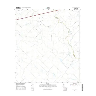
2016 Map of Eagle Lake NE
USGS Topo · Published 2016About this map
The San Bernard River defines the winding boundary between Austin and Colorado Counties, carving a path through a landscape of ranching and light aviation. The small settlement of Beard sits near the eastern edge, while the interior is marked by private airstrips like Mario's Flying Pizza Airport and Renz Ranch Airport. This territory is heavily dissected by seasonal watercourses, including the long reaches of Coushatta Cr and Middle Bernard Cr. Local land use is reflected in distinctive road names such as Prairie Chicken Rd and Tree Farm Rd, suggesting the historical environmental and economic character of this prairie region. Wetlands and oxbow features like Refuge Lake and Plowden Lake are concentrated along the river corridor, highlighting the hydrologic complexity of the coastal plain.
Find a feature on this map
53 named features on this map. Tap any name to fly to it.
Don’t see what you’re looking for? This feature index may not catch every label — zoom into the map to look around manually.
Map Details
Editions of this 2016 Eagle Lake NE Map
This is the sole edition of this map. No revisions or reprints were ever made.
Other maps of this area

1953 · Seguin
USGS Topo · 1:250,000

1956 · Bellville
USGS Topo · 1:62,500

1956 · Sealy
USGS Topo · 1:62,500

1956 · Wallis
USGS Topo · 1:62,500

1957 · Eagle Lake
USGS Topo · 1:62,500

1957 · Altair
USGS Topo · 1:24,000

1958 · Seguin
USGS Topo · 1:250,000

1958 · Bernardo
USGS Topo · 1:24,000

1958 · Alleyton
USGS Topo · 1:24,000

1960 · Lissie
USGS Topo · 1:24,000