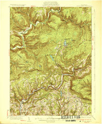
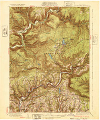
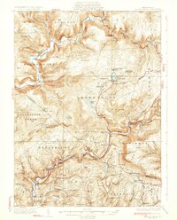
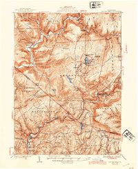
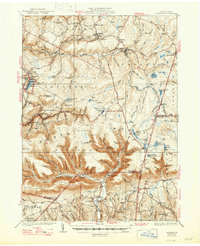
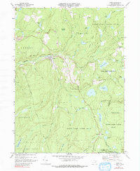
1932 Map of Eagle Mere
USGS Topo · Published 1932This historical map portrays the area of Eagle Mere in 1932, primarily covering Sullivan County as well as portions of Lycoming County. Featuring a scale of 1:62500, this map provides a highly detailed snapshot of the terrain, roads, buildings, counties, and historical landmarks in the Eagle Mere region at the time. Published in 1932, it is one of 4 known editions of this map due to revisions or reprints.
Find a feature on this map
91 named features on this map. Tap any name to fly to it.
Don’t see what you’re looking for? This feature index may not catch every label — zoom into the map to look around manually.
Map Details
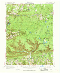
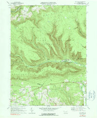
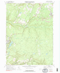
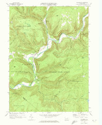
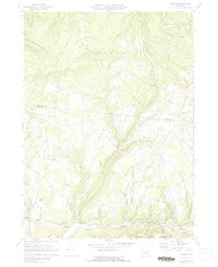
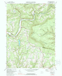
Editions of this 1932 Eagle Mere Map
4 editions found
Historical Maps of Shrewsbury Township Through Time
12 maps found
1934 LaPorte
Sullivan County, PA
1953 LaPorte
Sullivan County, PA
1969 Elk Grove
Sullivan County, PA
1969 LaPorte
Sullivan County, PA
1969 Lopez
Sullivan County, PA
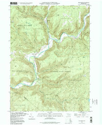
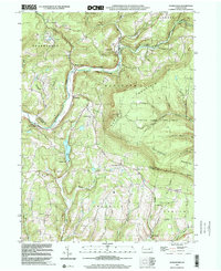
1970 Hillsgrove
Sullivan County, PA
1970 Overton
Sullivan County, PA

1970 Shunk
Sullivan County, PA
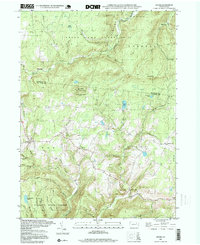
1970 Sonestown
Sullivan County, PA
1995 Hillsgrove
Sullivan County, PA
1995 Shunk
Sullivan County, PA
1999 Sonestown
Sullivan County, PA