
1897 Map of Eagle Mountain
USGS Topo · Published 1897About this map
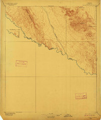
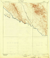
The Rio Grande carves a winding path along the international Boundary Line in this 1896 survey, where the river serves as the defining border between the United States and Mexico. The arid landscape is dominated by the steep ridges of the Quitman Mountains and the prominent peak of Eagle Mt. Rare water sources were critical for travelers and ranchers in this Trans-Pecos environment, as evidenced by Phinneys Ranch and the isolated Hot Spring near the riverbank.
Find a feature on this map
10 named features on this map. Tap any name to fly to it.
Don’t see what you’re looking for? This feature index may not catch every label — zoom into the map to look around manually.
Map Details
Editions of this 1897 Eagle Mountain Map
3 editions found
Other maps of this area

1892 · Chispa
USGS Topo · 1:125,000

1894 · Fort Hancock
USGS Topo · 1:125,000

1895 · Chispa
USGS Topo · 1:125,000

1895 · Sierra Blanca
USGS Topo · 1:125,000

1896 · San Carlos
USGS Topo · 1:125,000

1897 · Chispa
USGS Topo · 1:125,000

1906 · Van Horn
USGS Topo · 1:125,000

1916 · Eagle Mountain
USGS Topo · 1:125,000

1943 · Fort Quitman
USGS Topo · 1:62,500

1954 · Van Horn
USGS Topo · 1:250,000