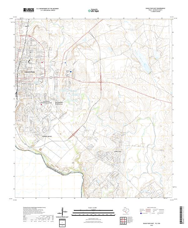
2022 Map of Eagle Pass East
USGS Topo · Published 2022About this map
The Rio Grande serves as the international boundary between the United States and Mexico along the southwestern edge of this Maverick County landscape. The border city of Eagle Pass dominates the northwestern corner, showing a dense network of residential streets and educational hubs including Southwest Texas Junior College and Sul Ross State University. The area's local history is anchored by several burial grounds, such as the Maverick County Cemetary, Our Lady of Refuge Cem, and Eagle Pass Catholic Cem.
Find a feature on this map
166 named features on this map. Tap any name to fly to it.
Don’t see what you’re looking for? This feature index may not catch every label — zoom into the map to look around manually.
Map Details
Editions of this 2022 Eagle Pass East Map
This is the sole edition of this map. No revisions or reprints were ever made.
Other maps of this area

1940 · Eagle Pass
USGS Topo · 1:62,500

1940 · Paloma
USGS Topo · 1:62,500

1940 · Quemado
USGS Topo · 1:62,500

1958 · Eagle Pass
USGS Topo · 1:250,000

1965 · Eagle Pass
USGS Topo · 1:250,000
1974 · Indian Tank
USGS Topo · 1:24,000
1974 · Deadmans Hill
USGS Topo · 1:24,000
1974 · Quemado SE
USGS Topo · 1:24,000
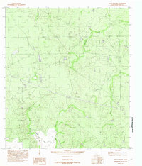
1982 · Eagle Pass NE
USGS Topo · 1:24,000
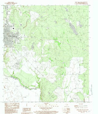
1983 · Eagle Pass East
USGS Topo · 1:24,000
Featured Places
- Eagle Pass, TX
- Chula Vista, TX
- Las Quintas Fronterizas, TX
- Chula Vista 1-5 Colonia, TX
- Hector Rodriguez Colonia, TX