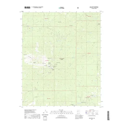
2020 Map of Eagle Peak
USGS Topo · Published 2020About this map
Eagle Peak and the high ridges of the Tularosa Mountains dominate this section of the Gila National Forest. The landscape is defined by a dense network of drainages and canyons, including Wilson Canyon, Kiehnes Canyon, and Salthouse Canyon, which reveal the complex topography of western Catron County. The reliance on seasonal water sources is evident through the numerous catchment features scattered throughout the terrain, such as Five Springs Tank and Eagle Peak Tank. Human activity is primarily represented by historical forest infrastructure, including State Rte 233 and FR 145, serving a region focused on conservation and land management. Further south, the terrain levels out at Perry Mesa before dropping into the rugged Jack Horse Canyon and the headwaters of N Fork Negrito Cr.
Find a feature on this map
53 named features on this map. Tap any name to fly to it.
Don’t see what you’re looking for? This feature index may not catch every label — zoom into the map to look around manually.
Map Details
Editions of this 2020 Eagle Peak Map
This is the sole edition of this map. No revisions or reprints were ever made.
Other maps of this area

1915 · Reserve
USGS Topo · 1:125,000

1918 · Pelona
USGS Topo · 1:125,000

1918 · Reserve
USGS Topo · 1:125,000

1954 · Clifton
USGS Topo · 1:250,000

1957 · Clifton
USGS Topo · 1:250,000

1958 · Clifton
USGS Topo · 1:250,000

1962 · Clifton
USGS Topo · 1:250,000
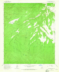
1963 · Sign Camp Mountain
USGS Topo · 1:24,000
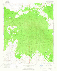
1963 · Pitchfork Canyon
USGS Topo · 1:24,000
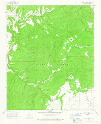
1963 · Telephone Canyon
USGS Topo · 1:24,000