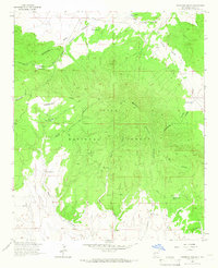
1963 Map of Pitchfork Canyon
USGS Topo · Published 1966About this map
The Continental Divide winds through this high-elevation landscape within the Gila National Forest, defining a complex network of canyons and peaks. This 1963 field-checked survey reveals a remote backcountry area centered on Elk Mountain, where the land is characterized by steep drainage systems like La Jolla Canyon and Pitchfork Canyon. Evidence of early cattle ranching and resource management is visible through the infrastructure of numerous livestock tanks, such as Collins Park Tank and Seven HL Tank, alongside the isolated Slater Cabin. A singular mine and a network of unimproved routes, including the Seven HL Road and various jeep trails, suggest the minimal human footprint during the mid-20th century. The presence of named water sources like Double Barrel Spring and Shantie Spring highlights the critical importance of reliable water in this arid mountainous terrain.
Find a feature on this map
26 named features on this map. Tap any name to fly to it.
Don’t see what you’re looking for? This feature index may not catch every label — zoom into the map to look around manually.
Map Details
Editions of this 1963 Pitchfork Canyon Map
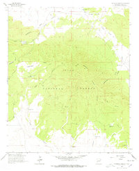
2 editions found
Other maps of this area

1910 · Mogollon
USGS Topo · 1:125,000

1911 · Alum Mountain
USGS Topo · 1:125,000

1912 · Mogollon
USGS Topo · 1:125,000

1913 · Alum Mountain
USGS Topo · 1:125,000

1915 · Reserve
USGS Topo · 1:125,000

1918 · Pelona
USGS Topo · 1:125,000

1918 · Reserve
USGS Topo · 1:125,000

1954 · Clifton
USGS Topo · 1:250,000

1957 · Clifton
USGS Topo · 1:250,000

1958 · Clifton
USGS Topo · 1:250,000