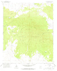
1963 Map of Pitchfork Canyon
USGS Topo · Published 1978About this map
Elk Mountain dominates the high-altitude terrain of the Gila National Forest in this early 1960s survey. The landscape is defined by the Continental Divide, which snakes through the region and dictates the complex drainage patterns of deep-cut features like La Jolla Canyon and Pitchfork Canyon. Evidence of early cattle ranching and resource management is scattered across the high country, marked by isolated points of human activity such as Slater Cabin and numerous livestock watering holes, including Seven HL Tank, Steve Tank, and Canyon Creek Tank.
Find a feature on this map
29 named features on this map. Tap any name to fly to it.
Don’t see what you’re looking for? This feature index may not catch every label — zoom into the map to look around manually.
Map Details
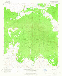
Editions of this 1963 Pitchfork Canyon Map
2 editions found
Other maps of this area

1910 · Mogollon
USGS Topo · 1:125,000

1911 · Alum Mountain
USGS Topo · 1:125,000

1912 · Mogollon
USGS Topo · 1:125,000

1913 · Alum Mountain
USGS Topo · 1:125,000

1915 · Reserve
USGS Topo · 1:125,000

1918 · Pelona
USGS Topo · 1:125,000

1918 · Reserve
USGS Topo · 1:125,000

1954 · Clifton
USGS Topo · 1:250,000

1957 · Clifton
USGS Topo · 1:250,000

1958 · Clifton
USGS Topo · 1:250,000