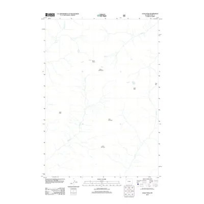
2012 Map of Eagle Peak
USGS Topo · Published 2012About this map
Eagle Peak and a series of prominent summits define this portion of the Absaroka Range as documented in 2012. The landscape is characterized by high-elevation drainage systems, where Trappers Cr and Eagle Cr carve through the terrain between formidable peaks like Mount Schurz and Mount Humphreys. The absence of roads or developed settlements highlights the wilderness character of the region, focusing instead on the natural topographic boundaries such as Eagle Pass and Table Mountain.
Find a feature on this map
12 named features on this map. Tap any name to fly to it.
Don’t see what you’re looking for? This feature index may not catch every label — zoom into the map to look around manually.
Map Details
Editions of this 2012 Eagle Peak Map
This is the sole edition of this map. No revisions or reprints were ever made.
Other maps of this area

1885 · Lake
USGS Topo · 1:125,000

1893 · Ishawooa
USGS Topo · 1:125,000

1895 · Ishawooa
USGS Topo · 1:125,000

1895 · Lake
USGS Topo · 1:125,000

1896 · Lake
USGS Topo · 1:125,000

1899 · Ishawooa
USGS Topo · 1:125,000

1901 · Lake
USGS Topo · 1:125,000

1906 · Lake
USGS Topo · 1:125,000

1911 · Lake
USGS Topo · 1:125,000

1955 · Ashton
USGS Topo · 1:250,000