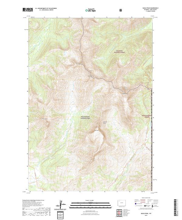
2021 Map of Eagle Peak
USGS Topo · Published 2021About this map
Eagle Peak and the high ridges of the Absaroka Range dominate this corner of the Wyoming wilderness, where three major public land boundaries converge. The boundary lines for Yellowstone National Park, Shoshone National Forest, and Teton National Forest meet among prominent summits like Mt Schurz, Mt Humphreys, and Colter Peak. This area is defined by its lack of roads, instead relying on an established network of backcountry paths such as the Mountain Creek Trl and Eagle Creek Trl. These routes follow the natural drainage patterns of Trappers Cr and Eagle Cr, providing historical access through Eagle Pass. The map captures a landscape essentially unchanged by modern development, preserved as a contiguous block of protected high-country terrain.
Find a feature on this map
26 named features on this map. Tap any name to fly to it.
Don’t see what you’re looking for? This feature index may not catch every label — zoom into the map to look around manually.
Map Details
Editions of this 2021 Eagle Peak Map
This is the sole edition of this map. No revisions or reprints were ever made.
Other maps of this area

1885 · Lake
USGS Topo · 1:125,000

1893 · Ishawooa
USGS Topo · 1:125,000

1895 · Ishawooa
USGS Topo · 1:125,000

1895 · Lake
USGS Topo · 1:125,000

1896 · Lake
USGS Topo · 1:125,000

1899 · Ishawooa
USGS Topo · 1:125,000

1901 · Lake
USGS Topo · 1:125,000

1906 · Lake
USGS Topo · 1:125,000

1911 · Lake
USGS Topo · 1:125,000

1955 · Ashton
USGS Topo · 1:250,000