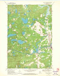
1970 Map of Eagle River West
USGS Topo · Published 1972About this map
The Wisconsin River snakes through the heart of this Northwoods landscape, defined by a dense concentration of glacial lakes and managed timberlands. In the early 1970s, the area shows a clear transition between the wilder southern sections of the American Legion State Forest and the developing infrastructure around the local regional hub. The Eagle River Municipal Airport and nearby Landing Field highlight the importance of aviation for access to this remote lake country. Along the river, industrial and recreational utility meet at the Otter Rapids Dam and its associated Powerhouse, while the Chicago and North Western tracks parallel the eastern edge of the survey. From the deep waters of Boot Lake to the smaller Chickaree Lake, the map documents a water-rich geography where Gravel Pits and forest roads like Boot Lake Road support the local economy.
Find a feature on this map
58 named features on this map. Tap any name to fly to it.
Don’t see what you’re looking for? This feature index may not catch every label — zoom into the map to look around manually.
Map Details
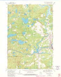
Editions of this 1970 Eagle River West Map
2 editions found
Other maps of this area

1928 · Three Lakes
USGS Topo · 1:48,000

1930 · Robbins
USGS Topo · 1:48,000

1938 · Phelps
USGS Topo · 1:48,000

1938 · Three Lakes
USGS Topo · 1:48,000

1938 · Robbins
USGS Topo · 1:48,000

1945 · Three Lakes
USGS Topo · 1:48,000

1945 · Robbins
USGS Topo · 1:48,000

1946 · Star Lake
USGS Topo · 1:48,000

1950 · Phelps
USGS Topo · 1:48,000

1950 · Star Lake
USGS Topo · 1:48,000