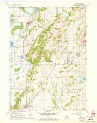
1960 Map of Eagle
USGS Topo · Published 1972About this map
Kettle Moraine terrain dominates this 1960s landscape, characterized by the glacial depressions and ridges of the Kettle Moraine State Forest. The Chicago Milwaukee St Paul and Pacific railroad serves as a central artery through the region, connecting established settlements like Eagle, North Prairie, and Genesee Depot. The map reveals a transition between protected woodland and rural agricultural plots, with several small lakes including Hunters Lake, Pretty Lake, and Ottawa Lake providing recreational hubs such as the Ottawa Lake Recreation Area. Local genealogy and community life are anchored by features like Ottawa Cem, Salem Cem, and the Prairie View Sch. The presence of numerous Gravel Pits and an Old Grade hints at the area's industrial and transportation history during the mid-20th century.
Find a feature on this map
43 named features on this map. Tap any name to fly to it.
Don’t see what you’re looking for? This feature index may not catch every label — zoom into the map to look around manually.
Map Details
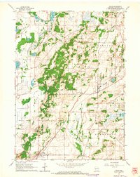
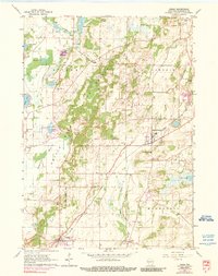
Editions of this 1960 Eagle Map
3 editions found
Other maps of this area

1892 · Watertown
USGS Topo · 1:62,500

1892 · Oconomowoc
USGS Topo · 1:62,500

1892 · Whitewater
USGS Topo · 1:62,500

1892 · Eagle
USGS Topo · 1:62,500

1893 · Whitewater
USGS Topo · 1:62,500

1894 · Watertown
USGS Topo · 1:62,500

1894 · Eagle
USGS Topo · 1:62,500

1897 · Eagle
USGS Topo · 1:62,500

1903 · Whitewater
USGS Topo · 1:62,500

1906 · Eagle
USGS Topo · 1:62,500