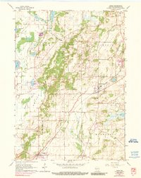
1960 Map of Eagle
USGS Topo · Published 1990About this map
Glacial topography and early rural infrastructure define this corner of Waukesha County as it appeared between 1955 and 1971. The Kettle Moraine State Forest dominates the central corridor, preserving the distinct kames and kettles of the landscape. Settlement patterns are anchored by the Chicago Milwaukee St Paul and Pacific railroad, which connects Eagle and North Prairie while passing through specialized points like Genesee Depot.
Find a feature on this map
39 named features on this map. Tap any name to fly to it.
Don’t see what you’re looking for? This feature index may not catch every label — zoom into the map to look around manually.
Map Details
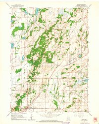
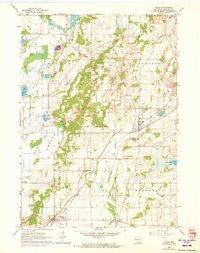
Editions of this 1960 Eagle Map
3 editions found
Other maps of this area

1892 · Watertown
USGS Topo · 1:62,500

1892 · Oconomowoc
USGS Topo · 1:62,500

1892 · Whitewater
USGS Topo · 1:62,500

1892 · Eagle
USGS Topo · 1:62,500

1893 · Whitewater
USGS Topo · 1:62,500

1894 · Watertown
USGS Topo · 1:62,500

1894 · Eagle
USGS Topo · 1:62,500

1897 · Eagle
USGS Topo · 1:62,500

1903 · Whitewater
USGS Topo · 1:62,500

1906 · Eagle
USGS Topo · 1:62,500