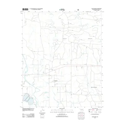
2013 Map of Eagletown
USGS Topo · Published 2013About this map
Eagletown stands as the primary hub of this McCurtain County landscape, situated near the confluence of Liksuklo Cr and the Mountain Fork. The settlement pattern follows the local drainage systems, with many secondary roads and trails like Union Valley Trl and Tuomile Cr navigating the spaces between prominent local water features. For those tracing family histories, both Eagletown Cem and Tonka Cem are clearly marked, providing essential points of reference for local ancestry.
Find a feature on this map
27 named features on this map. Tap any name to fly to it.
Don’t see what you’re looking for? This feature index may not catch every label — zoom into the map to look around manually.
Map Details
Editions of this 2013 Eagletown Map
This is the sole edition of this map. No revisions or reprints were ever made.
Other maps of this area

1902 · Lukfata
USGS Topo · 1:125,000

1913 · De Queen
USGS Topo · 1:125,000

1950 · Mcalester
USGS Topo · 1:250,000

1950 · Shults
USGS Topo · 1:24,000

1950 · Goodwater
USGS Topo · 1:24,000

1951 · Shults
USGS Topo · 1:24,000

1951 · Goodwater
USGS Topo · 1:24,000

1951 · Cerrogordo
USGS Topo · 1:24,000

1953 · Texarkana
USGS Topo · 1:250,000

1956 · Texarkana
USGS Topo · 1:250,000