2022 Map of Earl Park
USGS Topo · Published 2022About this map
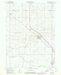
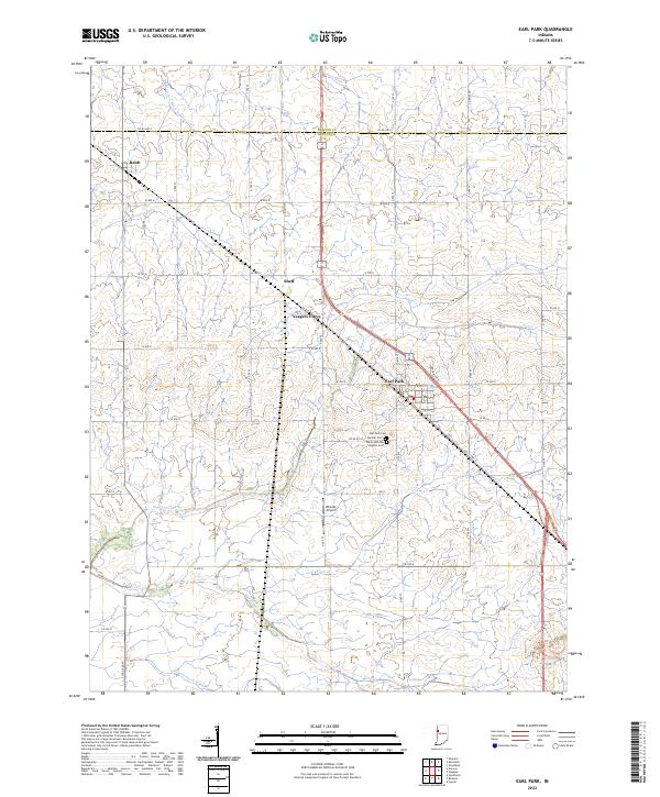
Earl Park anchors this portion of Benton County, where the landscape is defined by a dense network of agricultural drainage and small rural settlements. The terrain is crisscrossed by an extensive system of waterways, including Kent Ditch, Bowton Ditch, and Morrison Ditch Number Two, which support the intensive farming characteristic of this Indiana region. The settlement pattern shows the historical influence of transportation, with Sheff and Yeagers Curve situated along the rail lines that intersect the township. Local heritage is preserved at several distinct burial grounds south of the main townsite, including Earl Park Cem, Sumner Cem, and Saint John the Baptist Cem. The presence of Rheude Airport nestled between Sugar Creek and Coon Cr further illustrates the modern land use in this open prairie environment.
Find a feature on this map
42 named features on this map. Tap any name to fly to it.
Don’t see what you’re looking for? This feature index may not catch every label — zoom into the map to look around manually.
Map Details
Editions of this 2022 Earl Park Map
This is the sole edition of this map. No revisions or reprints were ever made.
Historical Maps of Earl Park Through Time
6 maps found