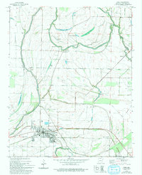
1974 Map of Earle
USGS Topo · Published 1974About this map
The Missouri Pacific railroad corridor anchors this delta landscape, running east-west through the central hub of Earle. The town serves as the primary settlement, supported by surrounding communities like Shannonville, Norvell, and Lansing. Education and spiritual life are well-documented for genealogists through local landmarks such as Dunbar High Sch, St Peters Ch, and Gibson Bayou Ch. The area is defined by its complex hydrology, with the winding Tyronza River and Blackfish Bayou cutting through a terrain dotted with numerous lakes, including Beautiful Lake and Brougham Lake.
Find a feature on this map
40 named features on this map. Tap any name to fly to it.
Don’t see what you’re looking for? This feature index may not catch every label — zoom into the map to look around manually.
Map Details
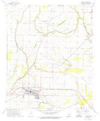
Editions of this 1974 Earle Map
2 editions found
Other maps of this area

1939 · Edmondson
USGS Topo · 1:62,500

1940 · Deckerville
USGS Topo · 1:62,500

1940 · Princedale
USGS Topo · 1:62,500

1940 · Whitmore
USGS Topo · 1:62,500

1953 · Memphis
USGS Topo · 1:250,000

1954 · Edmondson
USGS Topo · 1:62,500

1956 · Memphis
USGS Topo · 1:250,000

1956 · Whitmore
USGS Topo · 1:62,500

1956 · Princedale
USGS Topo · 1:62,500

1957 · Deckerville
USGS Topo · 1:62,500