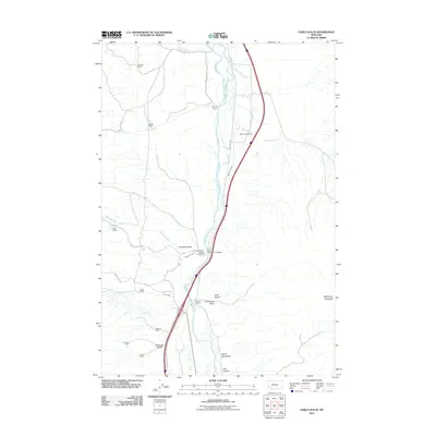
2011 Map of Earls Gulch
USGS Topo · Published 2011About this map
The Big Hole River carves a central path through this landscape, flanked by established ranching operations like the Breeden Ranch and Corning Ranch. The valley's agricultural character is defined by a network of drainage gulches and tributaries, including Cherry Creek and McCartney Creek, which feed the river as it flows past the Big Hole River Bridge. To the south and east, the terrain rises toward significant landmarks such as McCartney Mountain and the uniquely named Devils Dancehall. Evidence of industrial history is found at the Tungsten Mill near Sassman Gulch, while recreational access is highlighted at the Brownes Bridge Fishing Access. The map tracks a series of named ranch properties, such as the Schuetz Ranch and Grose Ranch, illustrating the sparse but organized settlement of the Montana backcountry during this period.
Find a feature on this map
32 named features on this map. Tap any name to fly to it.
Don’t see what you’re looking for? This feature index may not catch every label — zoom into the map to look around manually.
Map Details
Editions of this 2011 Earls Gulch Map
This is the sole edition of this map. No revisions or reprints were ever made.
Other maps of this area

1893 · Dillon
USGS Topo · 1:250,000

1952 · Twin Adams Mountain
USGS Topo · 1:24,000

1955 · Dillon
USGS Topo · 1:250,000

1957 · Dillon
USGS Topo · 1:250,000

1958 · Dillon
USGS Topo · 1:250,000

1958 · Vipond Park
USGS Topo · 1:62,500

1960 · Glen
USGS Topo · 1:24,000

1960 · Block Mountain
USGS Topo · 1:24,000

1961 · Melrose
USGS Topo · 1:24,000

1961 · Earls Gulch
USGS Topo · 1:24,000