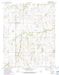
1973 Map of Earlton
USGS Topo · Published 1984About this map
Earlton and the surrounding township of Canville are defined by a landscape of agriculture and resource extraction in the early 1970s. The region is bisected by the Atchison Topeka and Santa Fe and the Missouri-Kansas-Texas railroads, which served as the primary conduits for the area's movement of goods. Along these rail lines and rural roads, the map documents numerous Oil Wells, a Gravel Pit, and a localized Fish Hatchery, illustrating a diversified rural economy.
Find a feature on this map
20 named features on this map. Tap any name to fly to it.
Don’t see what you’re looking for? This feature index may not catch every label — zoom into the map to look around manually.
Map Details
Editions of this 1973 Earlton Map
2 editions found
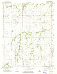
Other maps of this area

1886 · Fredonia
USGS Topo · 1:125,000

1886 · Iola
USGS Topo · 1:125,000

1886 · Independence
USGS Topo · 1:125,000

1886 · Parsons
USGS Topo · 1:125,000

1893 · Iola
USGS Topo · 1:125,000

1893 · Parsons
USGS Topo · 1:125,000

1894 · Fredonia
USGS Topo · 1:125,000

1894 · Independence
USGS Topo · 1:125,000

1904 · Iola
USGS Topo · 1:125,000

1905 · Independence
USGS Topo · 1:125,000