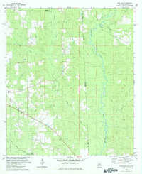
1982 Map of Earlville
USGS Topo · Published 1984About this map
The Es Catawpa River defines the landscape of this borderland region in the early 1980s, where the winding waterways of the Alabama Mississippi line separate George Co from Mobile Co. The settlement pattern is largely rural, anchored by small community centers like Earlville and Shipman. This era shows a landscape transitioning between timber or agricultural use and industrial utility, evidenced by a large Sandpit and a Pipeline cutting through the terrain.
Find a feature on this map
27 named features on this map. Tap any name to fly to it.
Don’t see what you’re looking for? This feature index may not catch every label — zoom into the map to look around manually.
Map Details
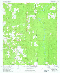
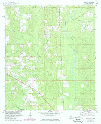
Editions of this 1982 Earlville Map
3 editions found
Other maps of this area

1941 · Lucedale
USGS Topo · 1:62,500

1942 · Deer Park
USGS Topo · 1:62,500

1942 · Wilmer
USGS Topo · 1:62,500

1943 · Lucedale
USGS Topo · 1:62,500

1943 · Deer Park
USGS Topo · 1:62,500

1944 · Wilmer
USGS Topo · 1:62,500

1953 · Hattiesburg
USGS Topo · 1:250,000

1953 · Mobile
USGS Topo · 1:250,000

1957 · Mobile
USGS Topo · 1:250,000

1958 · Hattiesburg
USGS Topo · 1:250,000