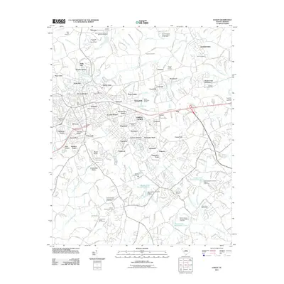
2011 Map of Easley
USGS Topo · Published 2011About this map
Easley serves as the central hub of this Pickens County landscape, showing a complex network of residential subdivisions like Marshall Heights and Avondale Heights that define the town's expansion. The Norfolk Southern corridor bisects the area, reinforcing the historical importance of rail transport to the local economy. Beyond the urban center, the terrain is characterized by a series of watersheds and managed water bodies, including Burdine Creek and the Brushy Creek Watershed 11 Lake.
Find a feature on this map
252 named features on this map. Tap any name to fly to it.
Don’t see what you’re looking for? This feature index may not catch every label — zoom into the map to look around manually.
Map Details
Editions of this 2011 Easley Map
This is the sole edition of this map. No revisions or reprints were ever made.
Other maps of this area

1888 · Pickens
USGS Topo · 1:125,000

1894 · Pickens
USGS Topo · 1:125,000

1935 · Greenville
USGS Topo · 1:48,000

1938 · Greenville
USGS Topo · 1:62,500

1954 · Greenville
USGS Topo · 1:250,000

1957 · Greenville
USGS Topo · 1:24,000

1957 · Anderson
USGS Topo · 1:62,500

1957 · Easley
USGS Topo · 1:62,500

1957 · Williamston
USGS Topo · 1:62,500

1957 · Greenville
USGS Topo · 1:62,500