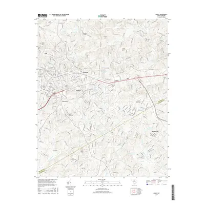
2017 Map of Easley
USGS Topo · Published 2017About this map
Easley serves as the central hub of this Piedmont landscape, situated along the border of Pickens and Anderson Counties. The area is densely patterned with a mix of residential growth and long-standing community landmarks, particularly evident in the high concentration of family and church burial grounds such as Easley Mill Cem and Fairview Methodist Cem. To the north, Arial Mtn and the settlement of Arial overlook a network of small water bodies and creeks including Burdine Cr and Georges Cr.
Find a feature on this map
296 named features on this map. Tap any name to fly to it.
Don’t see what you’re looking for? This feature index may not catch every label — zoom into the map to look around manually.
Map Details
Editions of this 2017 Easley Map
This is the sole edition of this map. No revisions or reprints were ever made.
Other maps of this area

1888 · Pickens
USGS Topo · 1:125,000

1894 · Pickens
USGS Topo · 1:125,000

1935 · Greenville
USGS Topo · 1:48,000

1938 · Greenville
USGS Topo · 1:62,500

1954 · Greenville
USGS Topo · 1:250,000

1957 · Greenville
USGS Topo · 1:24,000

1957 · Anderson
USGS Topo · 1:62,500

1957 · Easley
USGS Topo · 1:62,500

1957 · Williamston
USGS Topo · 1:62,500

1957 · Greenville
USGS Topo · 1:62,500