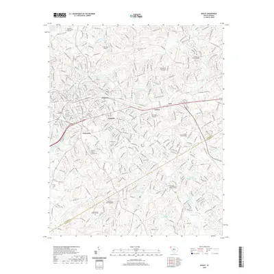
2020 Map of Easley
USGS Topo · Published 2020About this map
Easley and the surrounding Upstate South Carolina Piedmont are defined by a complex network of creeks and small communities on the border of Pickens and Anderson counties. This era of growth is marked by the presence of Tri-County Technical College, while older settlements like Pickensville and Glenwood reflect the area’s deep-rooted residential character. The landscape is heavily drained by tributaries of the Saluda River, including Burdine Creek and Georges Creek, with several watershed reservoirs such as Brushy Creek Watershed 11 Lake highlighting modern water management.
Find a feature on this map
197 named features on this map. Tap any name to fly to it.
Don’t see what you’re looking for? This feature index may not catch every label — zoom into the map to look around manually.
Map Details
Editions of this 2020 Easley Map
This is the sole edition of this map. No revisions or reprints were ever made.
Other maps of this area

1888 · Pickens
USGS Topo · 1:125,000

1894 · Pickens
USGS Topo · 1:125,000

1935 · Greenville
USGS Topo · 1:48,000

1938 · Greenville
USGS Topo · 1:62,500

1954 · Greenville
USGS Topo · 1:250,000

1957 · Greenville
USGS Topo · 1:24,000

1957 · Anderson
USGS Topo · 1:62,500

1957 · Easley
USGS Topo · 1:62,500

1957 · Williamston
USGS Topo · 1:62,500

1957 · Greenville
USGS Topo · 1:62,500