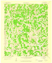
1958 Map of Eason
USGS Topo · Published 1959About this map
Griffin Memorial Hospital Annex serves as a prominent landmark in this 1958 landscape on the boundary of Cleveland and Pottawatomie counties. The area is defined by a dense network of small rural settlements and institutional sites, including Mc Kiddyville and Eason. The terrain is marked by numerous water bodies such as Dahlgren Lake, Conklin Lake, and Smith Lake, alongside several scattered oil wells that indicate the energy production of the era.
Find a feature on this map
34 named features on this map. Tap any name to fly to it.
Don’t see what you’re looking for? This feature index may not catch every label — zoom into the map to look around manually.
Map Details
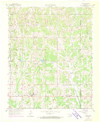
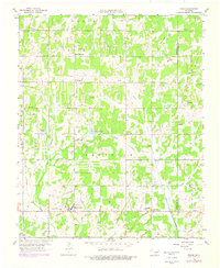
Editions of this 1958 Eason Map
3 editions found
Other maps of this area

1893 · Norman
USGS Topo · 1:62,500

1898 · Purcell
USGS Topo · 1:125,000

1898 · Pauls Valley
USGS Topo · 1:125,000

1902 · Pauls Valley
USGS Topo · 1:125,000

1910 · McComb
USGS Topo · 1:62,500

1936 · Norman
USGS Topo · 1:62,500

1954 · Oklahoma City
USGS Topo · 1:250,000

1957 · Ardmore
USGS Topo · 1:250,000

1957 · Oklahoma City
USGS Topo · 1:250,000
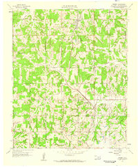
1958 · Tribbey
USGS Topo · 1:24,000