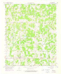
1958 Map of Eason
USGS Topo · Published 1976About this map
McKiddyville and the Eason community anchor this mid-century look at the landscape spanning the border of Cleveland and Pottawatomie counties. The area is defined by its rural social infrastructure, with historic gathering places like Shiloh Ch, Rose Hill Ch, and the Spring Creek Sch serving as local landmarks. The presence of the Griffin Memorial Hospital Annex in the southern portion of the map provides a notable institutional feature alongside agricultural and industrial elements like a Gravel Pit and scattered Oil Wells.
Find a feature on this map
39 named features on this map. Tap any name to fly to it.
Don’t see what you’re looking for? This feature index may not catch every label — zoom into the map to look around manually.
Map Details
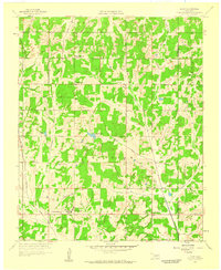
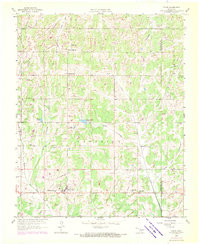
Editions of this 1958 Eason Map
3 editions found
Other maps of this area

1893 · Norman
USGS Topo · 1:62,500

1898 · Purcell
USGS Topo · 1:125,000

1898 · Pauls Valley
USGS Topo · 1:125,000

1902 · Pauls Valley
USGS Topo · 1:125,000

1910 · McComb
USGS Topo · 1:62,500

1936 · Norman
USGS Topo · 1:62,500

1954 · Oklahoma City
USGS Topo · 1:250,000

1957 · Ardmore
USGS Topo · 1:250,000

1957 · Oklahoma City
USGS Topo · 1:250,000
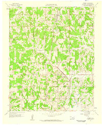
1958 · Tribbey
USGS Topo · 1:24,000