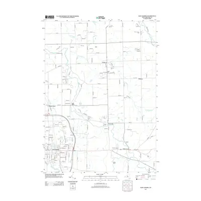
2013 Map of East Aurora
USGS Topo · Published 2013About this map
East Aurora serves as the primary hub of this 2013 survey, where several local waterways including Tannery Brook and the East Branch Cazenovia Cr converge. The landscape is defined by its transition from more developed village centers to the agricultural and recreational outskirts of Erie County. Local history is preserved through numerous rural burial grounds such as Evergreen Cem and Maplewood Cem, which serve as landmarks along the winding creek beds. To the north and east, the map reveals a pattern of namesake farmsteads and rural communities like Marilla and Wales Center. Notable features for researchers include the private Donnelly's Airport and localized recreation spots like the Depew-Lancaster Camp and Camp Aloha. The terrain is marked by distinct topographical points such as Mossy Point, overlooking the valley formed by Hunter Cr.
Find a feature on this map
143 named features on this map. Tap any name to fly to it.
Don’t see what you’re looking for? This feature index may not catch every label — zoom into the map to look around manually.
Map Details
Editions of this 2013 East Aurora Map
This is the sole edition of this map. No revisions or reprints were ever made.
Other maps of this area

1905 · Attica
USGS Topo · 1:62,500

1905 · Depew
USGS Topo · 1:62,500

1923 · Arcade
USGS Topo · 1:62,500

1925 · Springville
USGS Topo · 1:62,500

1925 · Arcade
USGS Topo · 1:62,500

1948 · Depew
USGS Topo · 1:62,500

1949 · Attica
USGS Topo · 1:62,500

1949 · Cowlesville
USGS Topo · 1:24,000
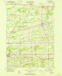
1950 · Corfu
USGS Topo · 1:24,000
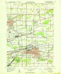
1950 · Lancaster
USGS Topo · 1:24,000