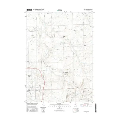
2016 Map of East Aurora
USGS Topo · Published 2016About this map
East Aurora sits at the southwestern edge of this modern survey, where the concentrated residential streets of the village transition into the sprawling orchard and farm country of Erie County. The landscape is deeply carved by the western flow of Buffalo Creek, which winds through the center of the sheet toward Porterville and East Elma. Further north, smaller settlements like Marilla and Williston are connected by a grid of ancestral roads, including the distinctive Two Rod Rd and Four Rod Rd corridors. Local heritage is preserved in several burial grounds such as Maplewood Cem and Evergreen Cem, while the rugged southeastern corner is marked by Mossy Point and the winding Original Trail Connector. This data reflects the persistent rural-suburban character of the region, where named brooks like Tannery Brook and Pond Brook continue to define the local topography.
Find a feature on this map
108 named features on this map. Tap any name to fly to it.
Don’t see what you’re looking for? This feature index may not catch every label — zoom into the map to look around manually.
Map Details
Editions of this 2016 East Aurora Map
This is the sole edition of this map. No revisions or reprints were ever made.
Other maps of this area

1905 · Attica
USGS Topo · 1:62,500

1905 · Depew
USGS Topo · 1:62,500

1923 · Arcade
USGS Topo · 1:62,500

1925 · Springville
USGS Topo · 1:62,500

1925 · Arcade
USGS Topo · 1:62,500

1948 · Depew
USGS Topo · 1:62,500

1949 · Attica
USGS Topo · 1:62,500

1949 · Cowlesville
USGS Topo · 1:24,000
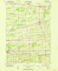
1950 · Corfu
USGS Topo · 1:24,000
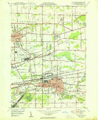
1950 · Lancaster
USGS Topo · 1:24,000