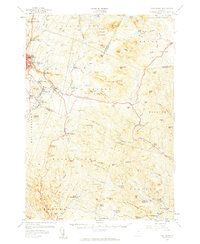
1957 Map of East Barre
USGS Topo · Published 1959About this map
Granite Quarries define the industrial character of the northwestern uplands, where the communities of Websterville, Graniteville, and East Barre emerged to support Vermont's stone-cutting heritage. The landscape is a complex network of steep hills and narrow valleys, drained by the Jail Branch and Waits River. Moving southeast from the industrial quarry centers, the terrain transitions into the dense woodlands of Groton State Forest and Jones State Forest, punctuated by high points like Spruce Mtn and Signal Mtn.
Find a feature on this map
115 named features on this map. Tap any name to fly to it.
Don’t see what you’re looking for? This feature index may not catch every label — zoom into the map to look around manually.
Map Details
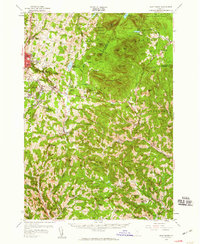
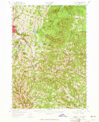
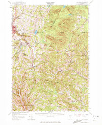
Editions of this 1957 East Barre Map
4 editions found
Other maps of this area

1896 · Strafford
USGS Topo · 1:62,500

1919 · Royalton
USGS Topo · 1:62,500

1919 · Montpelier
USGS Topo · 1:62,500

1921 · Montpelier
USGS Topo · 1:62,500

1922 · Barre
USGS Topo · 1:48,000

1924 · Barre
USGS Topo · 1:62,500

1924 · Randolph
USGS Topo · 1:48,000

1926 · Randolph
USGS Topo · 1:62,500

1931 · Mt. Cube
USGS Topo · 1:62,500

1931 · Woodsville
USGS Topo · 1:48,000