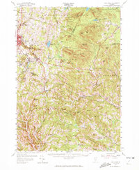
1957 Map of East Barre
USGS Topo · Published 1972About this map
The granite-rich heights of Millstone Hill define the western portion of this 1957 landscape, where the concentrated mining settlements of Websterville, Graniteville, and Lower Websterville cluster around numerous Quarries. This industrial core contrasts sharply with the expansive timberlands and peaks to the east, including the Knox Mountains and the high summits of Signal Mtn and Butterfield Mtn within Groton State Forest. The map documents a rugged rural infrastructure tied to the terrain, from the Duplissey Swamp to the headwaters of the Wells River. Extensive family-named landmarks such as Lyme Emery Hill and Pierson Hill dot the townships of Corinth and Washington, providing a detailed record of mid-century Vermont landholdings and small-town centers like Cookville and East Orange before later 20th-century development altered these valley communities.
Find a feature on this map
103 named features on this map. Tap any name to fly to it.
Don’t see what you’re looking for? This feature index may not catch every label — zoom into the map to look around manually.
Map Details
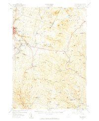
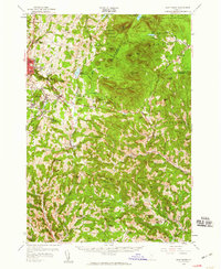
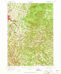
Editions of this 1957 East Barre Map
4 editions found
Other maps of this area

1896 · Strafford
USGS Topo · 1:62,500

1919 · Royalton
USGS Topo · 1:62,500

1919 · Montpelier
USGS Topo · 1:62,500

1921 · Montpelier
USGS Topo · 1:62,500

1922 · Barre
USGS Topo · 1:48,000

1924 · Barre
USGS Topo · 1:62,500

1924 · Randolph
USGS Topo · 1:48,000

1926 · Randolph
USGS Topo · 1:62,500

1931 · Mt. Cube
USGS Topo · 1:62,500

1931 · Woodsville
USGS Topo · 1:48,000