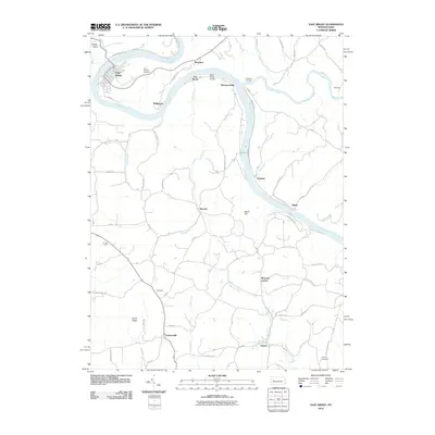
2010 Map of East Brady
USGS Topo · Published 2010About this map
The Allegheny River carves a deep, winding course through this section of Western Pennsylvania, defining the settlement patterns of towns like East Brady and Phillipston. The industrial legacy of the region is visible at the Redbank Furnace near the confluence of Redbank Creek, while the modern conversion of historic transport routes is evidenced by the Rails to Trl running parallel to the river. On the heights above the valley, rural life centers on locations such as Peach Hill and Burnt Ridge, with legacy sites including the Saint Eusebius Cemetery and the remote Croyle Cemetery providing essential data points for local genealogists. The map also features specialized landmarks like the Offutt Acres Airport and the Church Camp, illustrating a mix of early 21st-century infrastructure and long-standing community spaces tucked into the hills and hollows of the river bends.
Find a feature on this map
58 named features on this map. Tap any name to fly to it.
Don’t see what you’re looking for? This feature index may not catch every label — zoom into the map to look around manually.
Map Details
Editions of this 2010 East Brady Map
This is the sole edition of this map. No revisions or reprints were ever made.
Other maps of this area

1900 · Kittanning
USGS Topo · 1:62,500

1901 · Rural Valley
USGS Topo · 1:62,500

1902 · Kittanning
USGS Topo · 1:62,500

1903 · Rural Valley
USGS Topo · 1:62,500

1906 · Clarion
USGS Topo · 1:62,500

1907 · Clarion
USGS Topo · 1:62,500

1907 · Foxburg
USGS Topo · 1:62,500

1908 · Foxburg
USGS Topo · 1:62,500

1953 · Pittsburgh
USGS Topo · 1:250,000

1954 · Pittsburgh
USGS Topo · 1:250,000