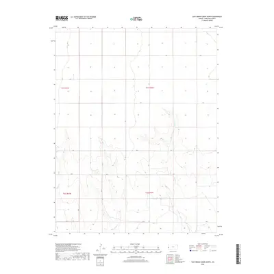
2018 Map of East Bridge Creek North
USGS Topo · Published 2018About this map
E Bridge Cr and W Bridge Cr carve through the High Plains of western Kansas, defining the drainage patterns of this rural landscape. This section of Hamilton County is characterized by its organized grid system, where long-established section lines are traced by county thoroughfares such as Rd 7, Rd 8, and Rd 10. The terrain is marked by the subtle shift from flat agricultural uplands into the more complex, eroded drainage basins surrounding Spring Creek. These topographical variations suggest a land primarily utilized for ranching and large-scale farming, where the seasonal flow of the creeks dictates the placement of infrastructure. The lack of concentrated settlements highlights the expansive nature of these Western Kansas townships during the early twenty-first century.
Find a feature on this map
13 named features on this map. Tap any name to fly to it.
Don’t see what you’re looking for? This feature index may not catch every label — zoom into the map to look around manually.
Map Details
Editions of this 2018 East Bridge Creek North Map
This is the sole edition of this map. No revisions or reprints were ever made.
Other maps of this area
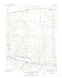
1890 · Granada
USGS Topo · 1:125,000
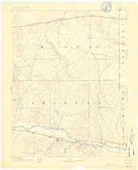
1892 · Granada
USGS Topo · 1:125,000
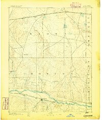
1894 · Granada
USGS Topo · 1:125,000
1953 · Holly East
USGS Topo · 1:24,000

1954 · Lamar
USGS Topo · 1:250,000
1955 · Holly NE
USGS Topo · 1:24,000

1955 · Scott City
USGS Topo · 1:250,000

1958 · Lamar
USGS Topo · 1:250,000

1958 · Scott City
USGS Topo · 1:250,000
1966 · Tribune 3 SW
USGS Topo · 1:24,000