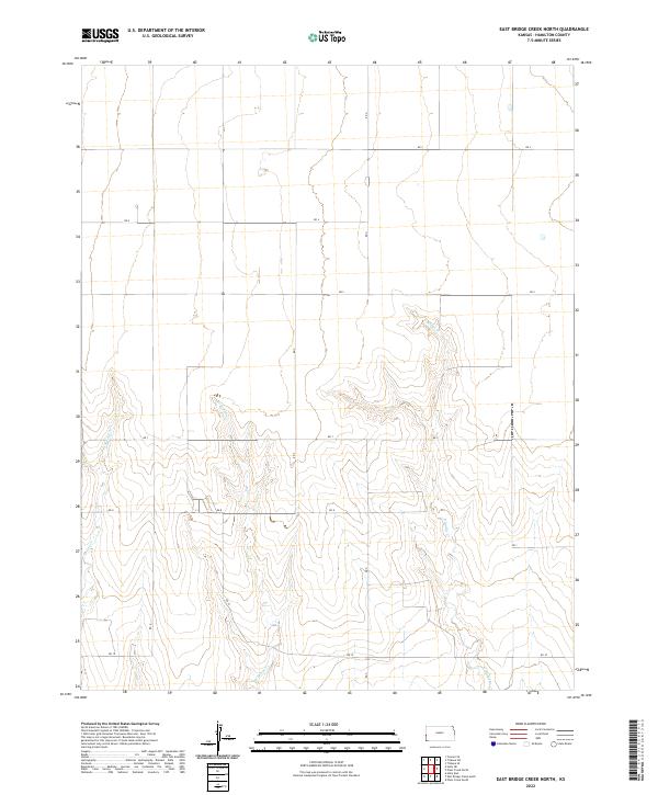
2022 Map of East Bridge Creek North
USGS Topo · Published 2022About this map
W Bridge Cr and E Bridge Cr define the drainage patterns of this Hamilton County landscape, where the high plains of western Kansas are dissected by intermittent watercourses. The area is characterized by a regular grid of section lines and rural routes, including Rd 7, Rd 8, and Rd 10, which provide the primary access to the agricultural parcels. This 2022 survey captures the persistent Public Land Survey System (PLSS) structure of townships t21s r43w and t21s r42w, illustrating how the 19th-century land division continues to govern modern land use and movement. Beyond the major creek beds like Spring Cr, the terrain is marked by subtle topographic shifts that reflect the transition from flat uplands to the eroded drainage basins of the Smoky Hills region.
Find a feature on this map
14 named features on this map. Tap any name to fly to it.
Don’t see what you’re looking for? This feature index may not catch every label — zoom into the map to look around manually.
Map Details
Editions of this 2022 East Bridge Creek North Map
This is the sole edition of this map. No revisions or reprints were ever made.
Other maps of this area

1890 · Granada
USGS Topo · 1:125,000

1892 · Granada
USGS Topo · 1:125,000

1894 · Granada
USGS Topo · 1:125,000

1953 · Holly East
USGS Topo · 1:24,000

1954 · Lamar
USGS Topo · 1:250,000

1955 · Holly NE
USGS Topo · 1:24,000

1955 · Scott City
USGS Topo · 1:250,000

1958 · Lamar
USGS Topo · 1:250,000

1958 · Scott City
USGS Topo · 1:250,000
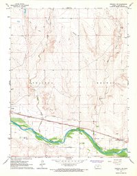
1966 · Tribune 3 SW
USGS Topo · 1:24,000