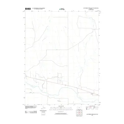
2010 Map of East Bridge Creek South
USGS Topo · Published 2010About this map
The Arkansas River corridor in western Kansas defines this landscape, where the interplay of natural watercourses and man-made irrigation systems is clearly visible. The small settlement of Medway sits alongside the highway and rail corridor just north of the river, serving as a primary point of reference for researchers of this high plains region. The map reveals a complex history of water management, evidenced by the primary Amity Canal and its older, bypassed counterpart, the Amity Canal (Abandoned). This transition from natural creek flow to engineered water delivery is further highlighted by the Frontier Ditch and labels such as Bridge Creek (Abandoned), documenting how the agricultural needs of Hamilton County reshaped the local environment over time. Numerous north-south roads like Rd D and Rd G grid the terrain, connecting the upland prairies to the fertile river bottomlands near River Rd.
Find a feature on this map
13 named features on this map. Tap any name to fly to it.
Don’t see what you’re looking for? This feature index may not catch every label — zoom into the map to look around manually.
Map Details
Editions of this 2010 East Bridge Creek South Map
This is the sole edition of this map. No revisions or reprints were ever made.
Other maps of this area

1890 · Granada
USGS Topo · 1:125,000

1891 · Albany
USGS Topo · 1:125,000

1892 · Granada
USGS Topo · 1:125,000

1893 · Albany
USGS Topo · 1:125,000

1894 · Granada
USGS Topo · 1:125,000

1900 · Syracuse
USGS Topo · 1:125,000

1920 · Syracuse
USGS Topo · 1:125,000

1953 · Holly East
USGS Topo · 1:24,000

1954 · Lamar
USGS Topo · 1:250,000

1955 · Holly NE
USGS Topo · 1:24,000