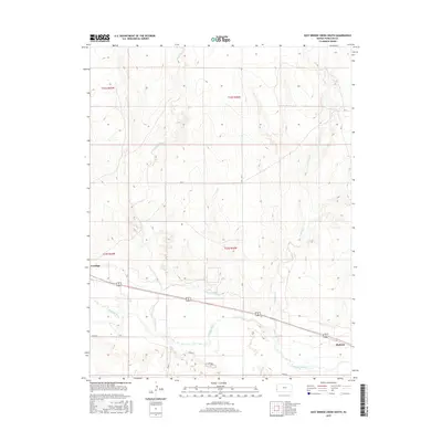
2015 Map of East Bridge Creek South
USGS Topo · Published 2015About this map
The Arkansas River defines the southern corridor of this Western Kansas landscape, flanked by the historic riverfront settlements of Coolidge and Medway. This 2015 topographic record illustrates the intricate water management essential to the region, most notably the Frontier Ditch which parallels the river valley. The terrain to the north is characterized by a series of drainage systems including W Bridge Cr and E Bridge Cr, which carve through the high plains before descending toward the river basin. A rigid grid of rural routes such as RD G and RD 14 provides access across the townships of t22s r42w and t23s r42w, tracing the transition from upland prairie to the cultivated bottomlands. The relationship between the natural flow of the Arkansas and the man-made irrigation infrastructure highlights the ongoing agricultural adaptation in Hamilton County.
Find a feature on this map
16 named features on this map. Tap any name to fly to it.
Don’t see what you’re looking for? This feature index may not catch every label — zoom into the map to look around manually.
Map Details
Editions of this 2015 East Bridge Creek South Map
This is the sole edition of this map. No revisions or reprints were ever made.
Other maps of this area

1890 · Granada
USGS Topo · 1:125,000

1891 · Albany
USGS Topo · 1:125,000

1892 · Granada
USGS Topo · 1:125,000

1893 · Albany
USGS Topo · 1:125,000

1894 · Granada
USGS Topo · 1:125,000

1900 · Syracuse
USGS Topo · 1:125,000

1920 · Syracuse
USGS Topo · 1:125,000

1953 · Holly East
USGS Topo · 1:24,000

1954 · Lamar
USGS Topo · 1:250,000

1955 · Holly NE
USGS Topo · 1:24,000