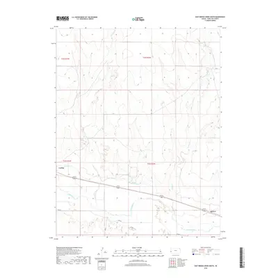
2018 Map of East Bridge Creek South
USGS Topo · Published 2018About this map
Coolidge stands as a primary focal point in Hamilton County, situated along the northern banks of the Arkansas River. This 2018 survey reveals the critical role of water management in the western Kansas landscape, evidenced by the Frontier Ditch which cuts across the terrain to support agriculture. The settlement of Medway sits further east, connected by a network of rural routes including River Rd and Road E. The topography is defined by the drainage patterns of W Bridge Cr and E Bridge Cr, which flow toward the river valley. This map illustrates the intersection of historical settlement patterns with modern infrastructure, where established section lines and regional roads delineate the high plains around the river corridor.
Find a feature on this map
16 named features on this map. Tap any name to fly to it.
Don’t see what you’re looking for? This feature index may not catch every label — zoom into the map to look around manually.
Map Details
Editions of this 2018 East Bridge Creek South Map
This is the sole edition of this map. No revisions or reprints were ever made.
Other maps of this area

1890 · Granada
USGS Topo · 1:125,000

1891 · Albany
USGS Topo · 1:125,000

1892 · Granada
USGS Topo · 1:125,000

1893 · Albany
USGS Topo · 1:125,000

1894 · Granada
USGS Topo · 1:125,000

1900 · Syracuse
USGS Topo · 1:125,000

1920 · Syracuse
USGS Topo · 1:125,000

1953 · Holly East
USGS Topo · 1:24,000

1954 · Lamar
USGS Topo · 1:250,000

1955 · Holly NE
USGS Topo · 1:24,000