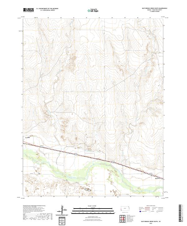
2022 Map of East Bridge Creek South
USGS Topo · Published 2022About this map
The Arkansas River corridor defines the southern landscape of this Hamilton County region, where irrigation and transport infrastructure converge near the state border. Historically centered on the community of Coolidge, the area shows a distinct transition from the river bottomlands to the surrounding high plains. The Frontier Ditch serves as a visible marker of the agricultural engineering required to manage water in this semi-arid environment, running parallel to the river and the primary east-west transportation artery.
Find a feature on this map
15 named features on this map. Tap any name to fly to it.
Don’t see what you’re looking for? This feature index may not catch every label — zoom into the map to look around manually.
Map Details
Editions of this 2022 East Bridge Creek South Map
This is the sole edition of this map. No revisions or reprints were ever made.
Other maps of this area

1890 · Granada
USGS Topo · 1:125,000

1891 · Albany
USGS Topo · 1:125,000

1892 · Granada
USGS Topo · 1:125,000

1893 · Albany
USGS Topo · 1:125,000

1894 · Granada
USGS Topo · 1:125,000

1900 · Syracuse
USGS Topo · 1:125,000

1920 · Syracuse
USGS Topo · 1:125,000

1953 · Holly East
USGS Topo · 1:24,000

1954 · Lamar
USGS Topo · 1:250,000

1955 · Holly NE
USGS Topo · 1:24,000