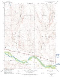
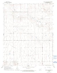
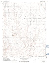
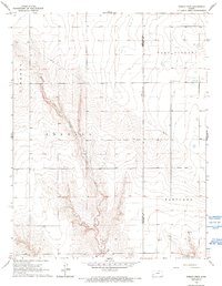
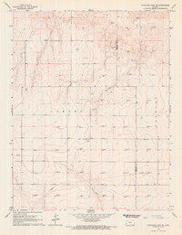
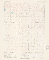
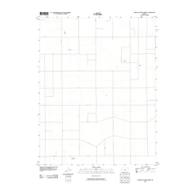
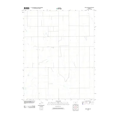
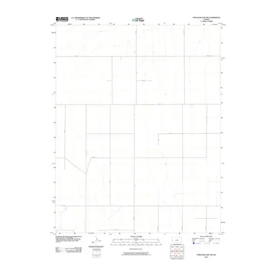
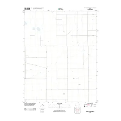
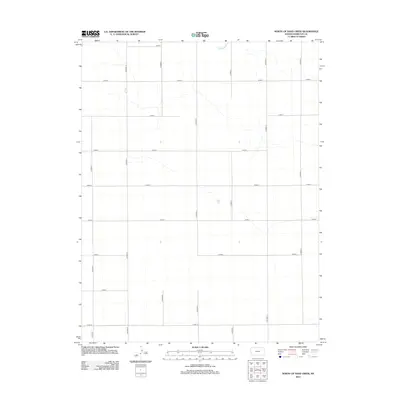
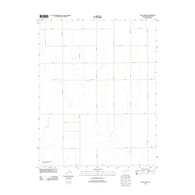
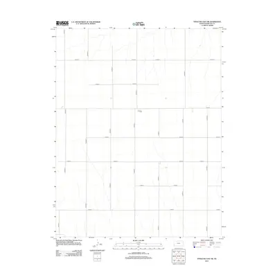
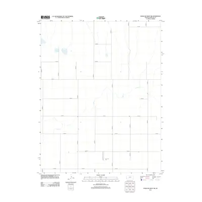
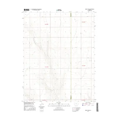
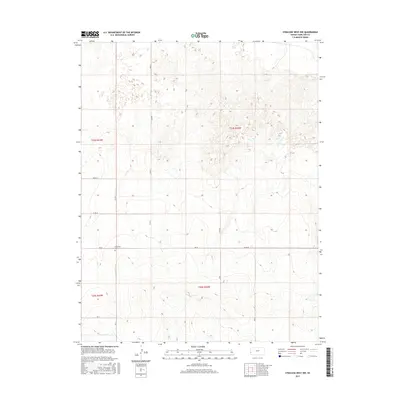
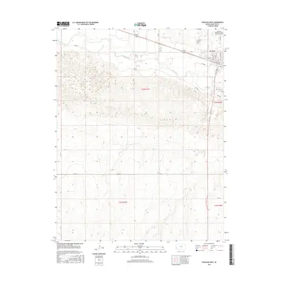
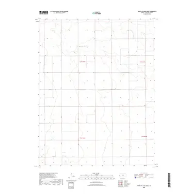
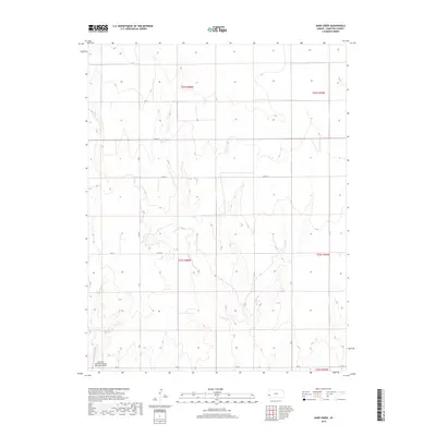
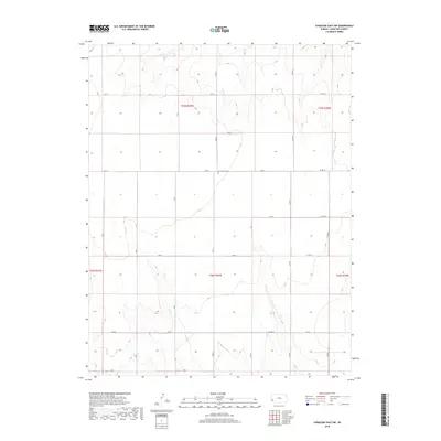
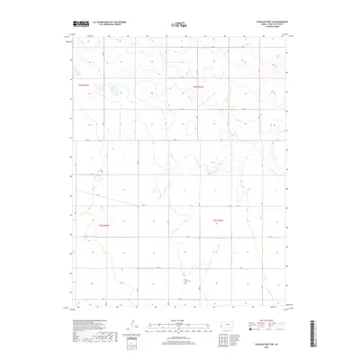
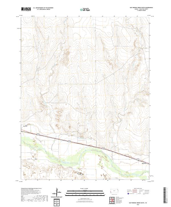
1966 Map of East Bridge Creek South
USGS Topo · Published 1993About this map
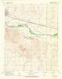
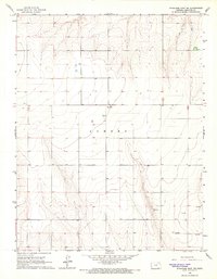
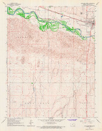
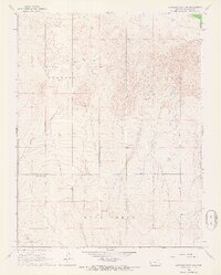
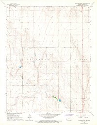
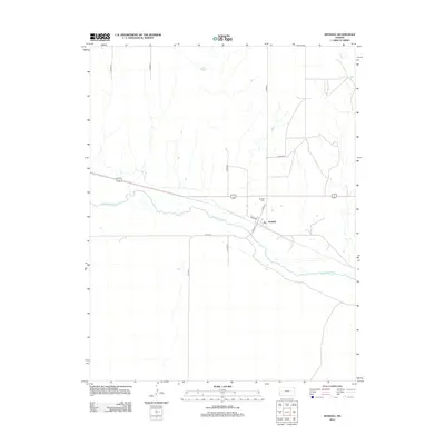
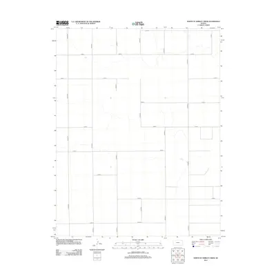
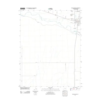
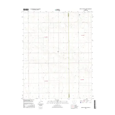
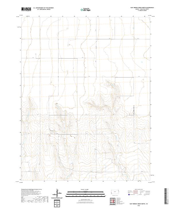
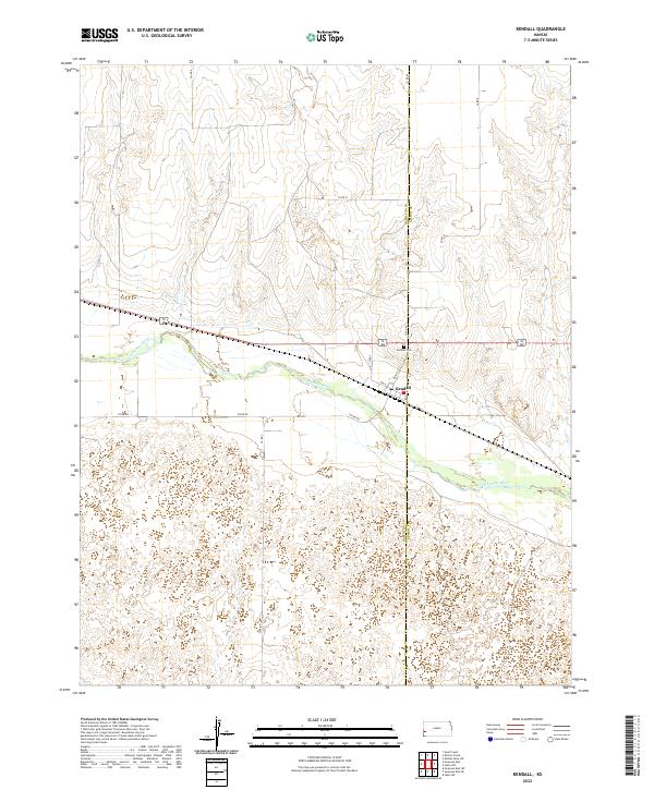
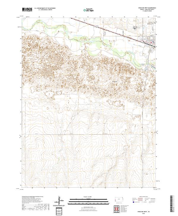
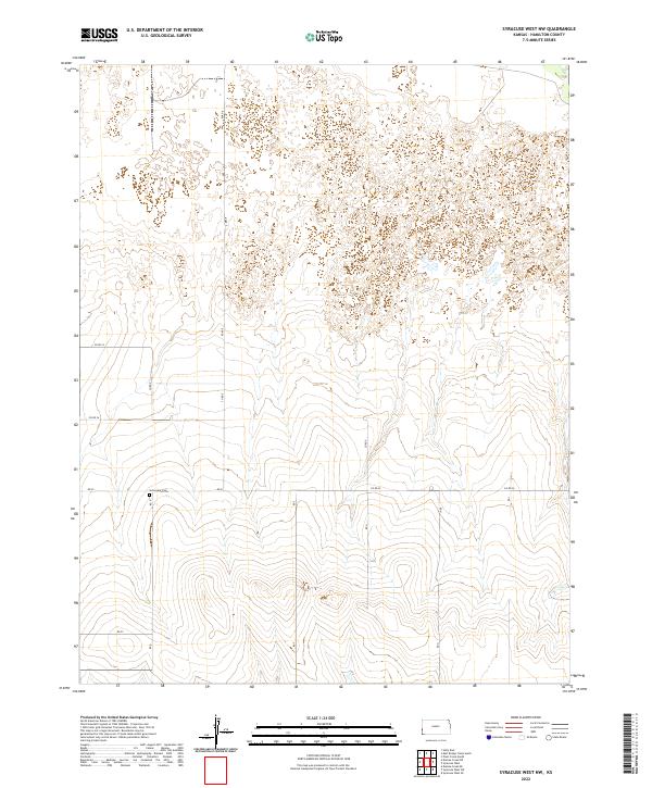
The Arkansas River serves as the central artery for this Western Kansas landscape, flanked by a complex network of irrigation infrastructure essential to High Plains agriculture. The Frontier Ditch, Amity Canal, and Alamo Ditch parallel the river's course, illustrating the intensive water management required for the region's survival. In the western portion of the map, the town of Coolidge is situated near the Atchison Topeka and Santa Fe railroad line, featuring a Coolidge Cem and a nearby Quarry. Further east, the settlement of Medway sits near a Roadside Park and several Wells. The terrain is defined by the drainage patterns of West Bridge Creek and East Bridge Creek, which cut through the land as they flow south toward the river. This 1966 field-checked survey reveals an era of established ranching and farming, documented by fine red dashed lines indicating field and fence boundaries across the Hamilton County countryside.
Find a feature on this map
25 named features on this map. Tap any name to fly to it.
Don’t see what you’re looking for? This feature index may not catch every label — zoom into the map to look around manually.
Map Details
Editions of this 1966 East Bridge Creek South Map
2 editions found
Historical Maps of Coolidge Through Time
96 maps found
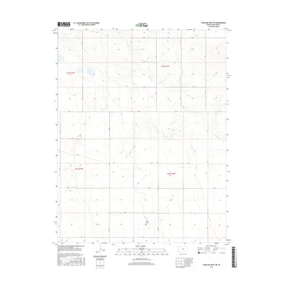
1966 East Bridge Creek North
Hamilton County, KS
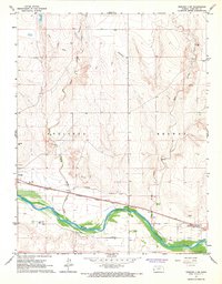
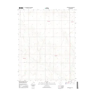
1966 East Bridge Creek South
Hamilton County, KS
1966 Kendall
Hamilton County, KS
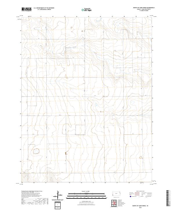
1966 North of Sand Creek
Hamilton County, KS
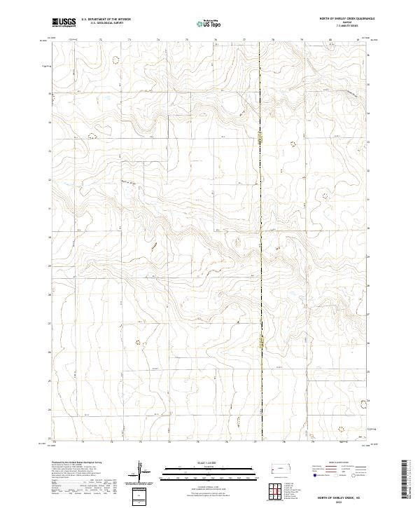
1966 North of Shirley Creek
Hamilton County, KS
1966 Plum Creek North
Hamilton County, KS
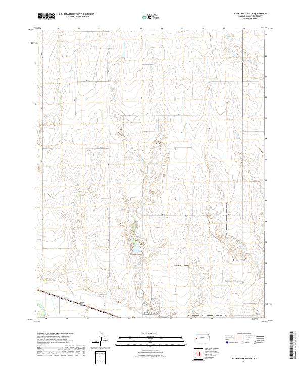
1966 Plum Creek South
Hamilton County, KS
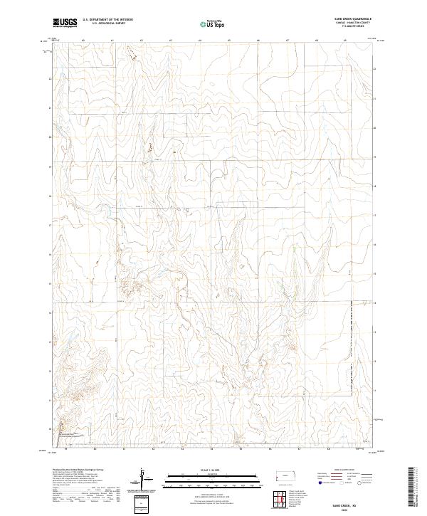
1966 Sand Creek
Hamilton County, KS
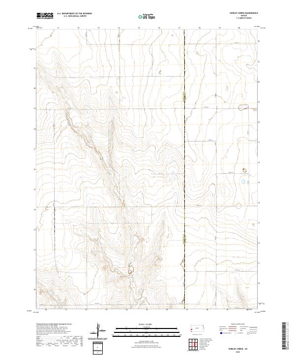
1966 Shirley Creek
Hamilton County, KS
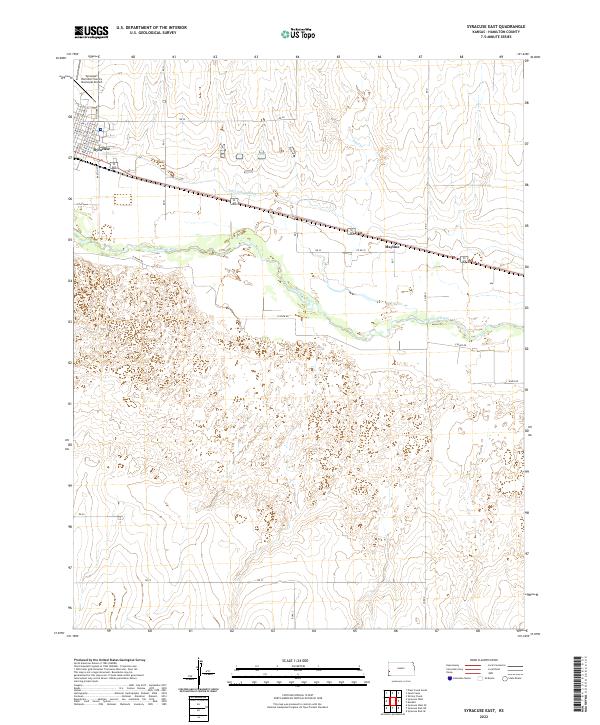
1966 Syracuse East
Hamilton County, KS
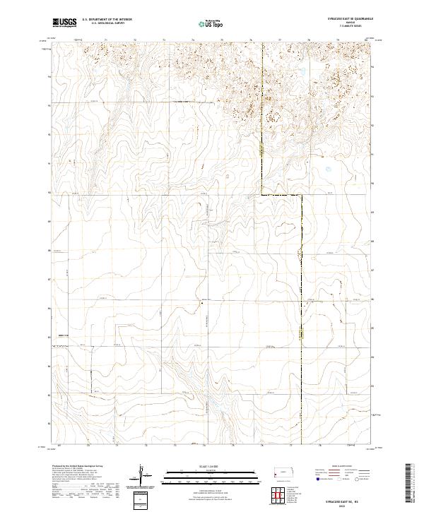
1966 Syracuse East SE
Hamilton County, KS
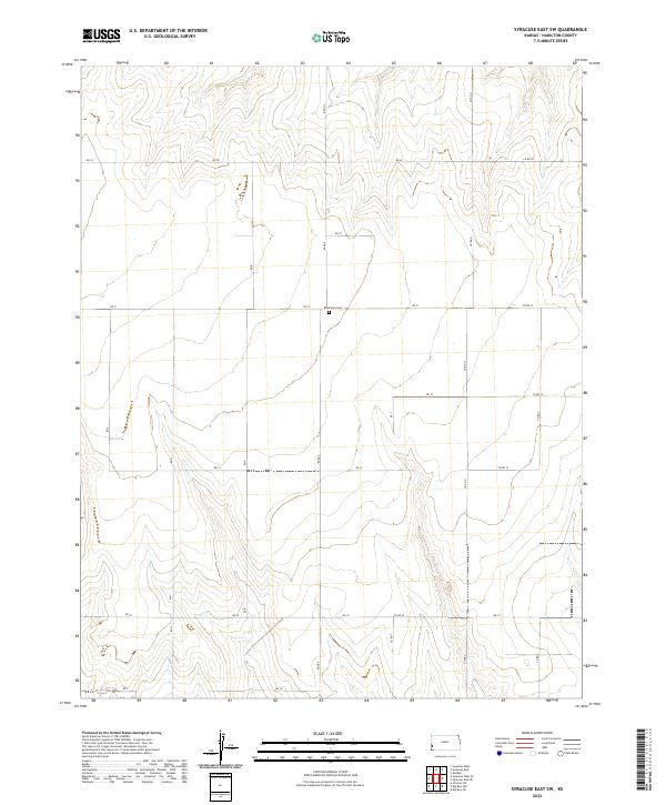
1966 Syracuse East SW
Hamilton County, KS
1966 Syracuse West
Hamilton County, KS
1966 Syracuse West NW
Hamilton County, KS
1966 Syracuse West SE
Hamilton County, KS
1966 Syracuse West SW
Hamilton County, KS
2010 East Bridge Creek North
Hamilton County, KS
2010 East Bridge Creek South
Hamilton County, KS
2010 Kendall
Hamilton County, KS
2010 North of Sand Creek
Hamilton County, KS
2010 North of Shirley Creek
Hamilton County, KS
2010 Plum Creek North
Hamilton County, KS
2010 Plum Creek South
Hamilton County, KS
2010 Sand Creek
Hamilton County, KS
2010 Shirley Creek
Hamilton County, KS
2010 Syracuse East
Hamilton County, KS
2010 Syracuse East SE
Hamilton County, KS
2010 Syracuse East SW
Hamilton County, KS
2010 Syracuse West
Hamilton County, KS
2010 Syracuse West NW
Hamilton County, KS
2010 Syracuse West SE
Hamilton County, KS
2010 Syracuse West SW
Hamilton County, KS
2012 East Bridge Creek North
Hamilton County, KS
2012 East Bridge Creek South
Hamilton County, KS
2012 Kendall
Hamilton County, KS
2012 North of Sand Creek
Hamilton County, KS
2012 North of Shirley Creek
Hamilton County, KS
2012 Plum Creek North
Hamilton County, KS
2012 Plum Creek South
Hamilton County, KS
2012 Sand Creek
Hamilton County, KS
2012 Shirley Creek
Hamilton County, KS
2012 Syracuse East
Hamilton County, KS
2012 Syracuse East SE
Hamilton County, KS
2012 Syracuse East SW
Hamilton County, KS
2012 Syracuse West
Hamilton County, KS
2012 Syracuse West NW
Hamilton County, KS
2012 Syracuse West SE
Hamilton County, KS
2012 Syracuse West SW
Hamilton County, KS
2015 East Bridge Creek North
Hamilton County, KS
2015 East Bridge Creek South
Hamilton County, KS
2015 North of Sand Creek
Hamilton County, KS
2015 North of Shirley Creek
Hamilton County, KS
2015 Plum Creek North
Hamilton County, KS
2015 Plum Creek South
Hamilton County, KS
2015 Sand Creek
Hamilton County, KS
2015 Shirley Creek
Hamilton County, KS
2015 Syracuse East
Hamilton County, KS
2015 Syracuse East SE
Hamilton County, KS
2015 Syracuse East SW
Hamilton County, KS
2015 Syracuse West NW
Hamilton County, KS
2015 Syracuse West SE
Hamilton County, KS
2015 Syracuse West SW
Hamilton County, KS
2016 Kendall
Hamilton County, KS
2016 Syracuse West
Hamilton County, KS
2018 East Bridge Creek North
Hamilton County, KS
2018 East Bridge Creek South
Hamilton County, KS
2018 Kendall
Hamilton County, KS
2018 North of Sand Creek
Hamilton County, KS
2018 North of Shirley Creek
Hamilton County, KS
2018 Plum Creek North
Hamilton County, KS
2018 Plum Creek South
Hamilton County, KS
2018 Sand Creek
Hamilton County, KS
2018 Shirley Creek
Hamilton County, KS
2018 Syracuse East
Hamilton County, KS
2018 Syracuse East SE
Hamilton County, KS
2018 Syracuse East SW
Hamilton County, KS
2018 Syracuse West
Hamilton County, KS
2018 Syracuse West NW
Hamilton County, KS
2018 Syracuse West SE
Hamilton County, KS
2018 Syracuse West SW
Hamilton County, KS
2022 East Bridge Creek North
Hamilton County, KS
2022 East Bridge Creek South
Hamilton County, KS
2022 Kendall
Hamilton County, KS
2022 North of Sand Creek
Hamilton County, KS
2022 North of Shirley Creek
Hamilton County, KS

2022 Plum Creek North
Hamilton County, KS
2022 Plum Creek South
Hamilton County, KS
2022 Sand Creek
Hamilton County, KS
2022 Shirley Creek
Hamilton County, KS
2022 Syracuse East
Hamilton County, KS
2022 Syracuse East SE
Hamilton County, KS
2022 Syracuse East SW
Hamilton County, KS
2022 Syracuse West
Hamilton County, KS
2022 Syracuse West NW
Hamilton County, KS
2022 Syracuse West SE
Hamilton County, KS
2022 Syracuse West SW
Hamilton County, KS