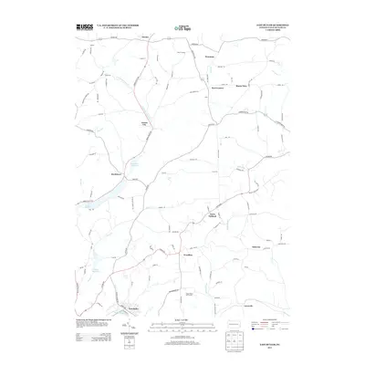
2013 Map of East Butler
USGS Topo · Published 2013About this map
East Butler sits at the southern edge of this landscape, where the local rail infrastructure meets the waters of Bonnie Brook. The terrain to the north is defined by a series of significant water impoundments, most notably Lake Oneida, Boydstown Reservoir, and Thorn Reservoir, which follow the winding path of Thorn Cr and its tributaries. These reservoirs suggest a managed watershed essential to the region's development.
Find a feature on this map
105 named features on this map. Tap any name to fly to it.
Don’t see what you’re looking for? This feature index may not catch every label — zoom into the map to look around manually.
Map Details
Editions of this 2013 East Butler Map
This is the sole edition of this map. No revisions or reprints were ever made.
Other maps of this area

1900 · Kittanning
USGS Topo · 1:62,500

1902 · Kittanning
USGS Topo · 1:62,500

1907 · Foxburg
USGS Topo · 1:62,500

1908 · Foxburg
USGS Topo · 1:62,500

1909 · Butler
USGS Topo · 1:62,500

1910 · Hilliards
USGS Topo · 1:62,500

1911 · Butler
USGS Topo · 1:62,500

1912 · Hilliards
USGS Topo · 1:62,500

1944 · Hilliards
USGS Topo · 1:62,500

1953 · Pittsburgh
USGS Topo · 1:250,000