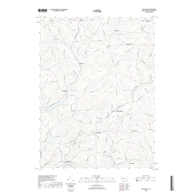
2019 Map of East Butler
USGS Topo · Published 2019About this map
Connoquenessing Cr and Buffalo Cr carve a complex network of ridges and valleys across this portion of Butler County. The landscape is defined by its small, scattered settlements such as Greece City, Hooker, and Haysville, often connected by winding rural routes like Oneida Valley Rd. For genealogists, the map is particularly valuable for its documentation of local burial grounds, including Saint Wendelin Cem, Zion Lutheran Cem, and the Whitmire Cem. Significant water features like Lake Oneida and the Boydstown Reservoir provide central landmarks within the northern hills. The southern reaches are anchored by East Butler and Lucasville, where the terrain begins to flatten toward the local industrial centers. This survey documents the contemporary rural character and established community nodes of the region.
Find a feature on this map
60 named features on this map. Tap any name to fly to it.
Don’t see what you’re looking for? This feature index may not catch every label — zoom into the map to look around manually.
Map Details
Editions of this 2019 East Butler Map
This is the sole edition of this map. No revisions or reprints were ever made.
Other maps of this area

1900 · Kittanning
USGS Topo · 1:62,500

1902 · Kittanning
USGS Topo · 1:62,500

1907 · Foxburg
USGS Topo · 1:62,500

1908 · Foxburg
USGS Topo · 1:62,500

1909 · Butler
USGS Topo · 1:62,500

1910 · Hilliards
USGS Topo · 1:62,500

1911 · Butler
USGS Topo · 1:62,500

1912 · Hilliards
USGS Topo · 1:62,500

1944 · Hilliards
USGS Topo · 1:62,500

1953 · Pittsburgh
USGS Topo · 1:250,000