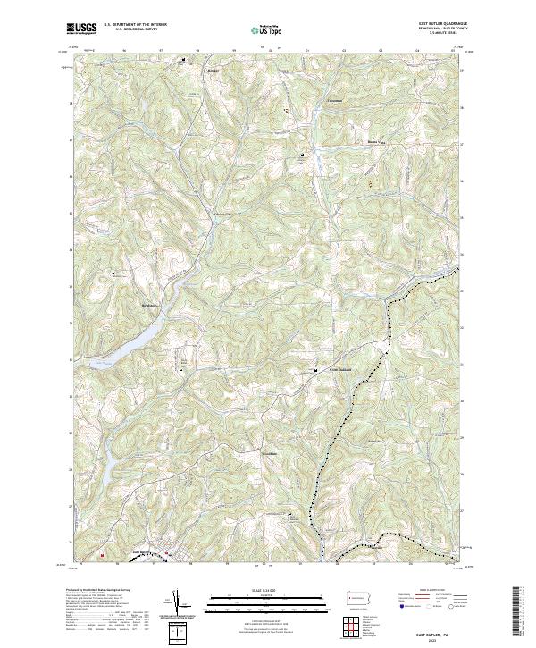
2023 Map of East Butler
USGS Topo · Published 2023About this map
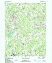
Greece City and the surrounding Butler County hill country appear here as a landscape of established rural settlements and evolving water management. The terrain is deeply carved by the winding paths of Connoquenessing Creek and Thorn Creek, which feed into modern impoundments like Lake Oneida, Boydstown Reservoir, and Thorn Reservoir. These reservoirs reflect the region's transition from early industrial and agricultural reliance on free-flowing streams to controlled municipal water sources.
Find a feature on this map
91 named features on this map. Tap any name to fly to it.
Don’t see what you’re looking for? This feature index may not catch every label — zoom into the map to look around manually.
Map Details
Editions of this 2023 East Butler Map
This is the sole edition of this map. No revisions or reprints were ever made.