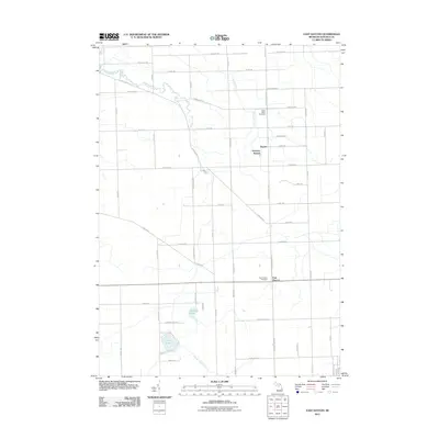
2011 Map of East Dayton
USGS Topo · Published 2011About this map
East Dayton and Dayton serve as the primary coordinates for this rural landscape in Tuscola County, where the agricultural grid is interrupted by winding watercourses. The drainage of the region is defined by Sucker Creek in the north and the Daytona Branch of Butternut Creek, reflecting the importance of water management in this farming district. In the southern portion of the quadrangle, Harmon Lake and Cat Lake sit amidst a network of local routes like Cat Lake Hills Rd, marking a shift toward the more varied topography of the lake country. Genealogists will find the North Wells Cemetery and East Dayton Cemetery clearly plotted along the township roads, while local history is further preserved in names like Boy Scout Rd and Tin Bill Rd. The map illustrates a contemporary view of these traditional Michigan townships, showing how modern infrastructure follows the long-established section lines.
Find a feature on this map
55 named features on this map. Tap any name to fly to it.
Don’t see what you’re looking for? This feature index may not catch every label — zoom into the map to look around manually.
Map Details
Editions of this 2011 East Dayton Map
This is the sole edition of this map. No revisions or reprints were ever made.
Other maps of this area

1954 · Flint
USGS Topo · 1:250,000

1958 · Flint
USGS Topo · 1:250,000

1963 · Clifford
USGS Topo · 1:24,000

1963 · East Dayton
USGS Topo · 1:24,000

1963 · Mayville
USGS Topo · 1:24,000

1963 · Kingston
USGS Topo · 1:24,000

1963 · Cass City
USGS Topo · 1:24,000

1963 · Ellington
USGS Topo · 1:24,000

1963 · Caro
USGS Topo · 1:24,000

1963 · Juniata
USGS Topo · 1:24,000