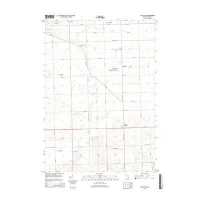
2014 Map of East Dayton
USGS Topo · Published 2014About this map
Tuscola County farmland and glacial hydrology define this area of Michigan, where the small settlements of Dayton and East Dayton serve as local hubs. The landscape is marked by a complex network of waterways including Butternut Cr, Sucker Cr, and the winding Cass River in the northwest. Several small bodies of water like Harmon Lake and Cat Lake sit near the southern boundary, connected by man-made improvements such as the Phelps Lake Drain.
Find a feature on this map
40 named features on this map. Tap any name to fly to it.
Don’t see what you’re looking for? This feature index may not catch every label — zoom into the map to look around manually.
Map Details
Editions of this 2014 East Dayton Map
This is the sole edition of this map. No revisions or reprints were ever made.
Other maps of this area

1954 · Flint
USGS Topo · 1:250,000

1958 · Flint
USGS Topo · 1:250,000

1963 · Clifford
USGS Topo · 1:24,000

1963 · East Dayton
USGS Topo · 1:24,000

1963 · Mayville
USGS Topo · 1:24,000

1963 · Kingston
USGS Topo · 1:24,000

1963 · Cass City
USGS Topo · 1:24,000

1963 · Ellington
USGS Topo · 1:24,000

1963 · Caro
USGS Topo · 1:24,000

1963 · Juniata
USGS Topo · 1:24,000